
Boynton Canyon Subway Cave near Sedona and Horseshoe Bend in Page are almost unreal places in Arizona. While the latter is a well known landmark, the former is relatively recent discovery. Both Sedona and Page are good destinations for a couple of days, but for us they were only 'a fill-in day' between the Grand Canyon and the Wave during our 2026 US Roadtrip.
[POL] Boynton Canyon Subway Cave niedaleko Sedony oraz Horseshoe Bend w Page to miejsca 'nie z tej ziemi' w Arizonie. Oba miasteczka mają wystarczająco atrakcji na kilkudniowy pobyt, dla nas jednak były jedynie 'wypełniaczem' pomiędzy Wielkim Kanionem a the Wave w czasie podróży po płd-zach. USA.

Each day of my
April 2026 road triphad been designed to move down the planned route (
a 15-days loop from Denver) and stop for hikes.
[POL] Każdy dzień podróży był zaplanowany tak, aby przesuwać się po pętli (15 dni ze startem i metą w Denver) i zatrzymywać się na trekkingi.
Previous stage / poprzedni odcinek: Williams, AZ <=> Grand Canyon, AZ
Highlights / główne atrakcje: Grand Canyon National Park
US Road Trip 2026, Day 7
Highlights
- Boynton Canyon Subway Cave near Sedona, AZ
- Sandstone cave near Shell fuel station in Page, AZ
- Horseshoe Bend in Page, AZ
Accommodations
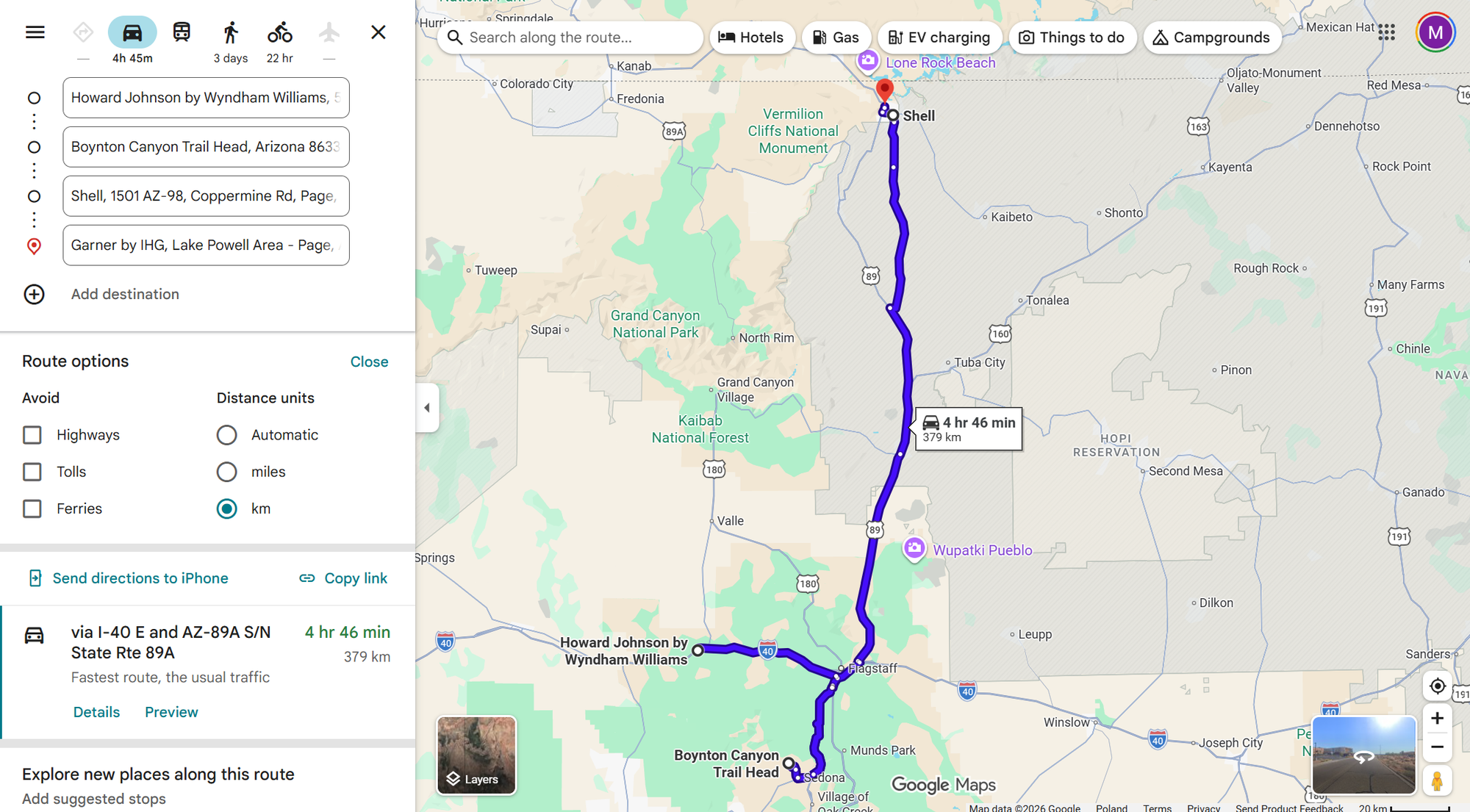
Start: Howard Johnson by Wyndham, Williams, Arizona
End: Garner by IHG Lake Powell, Page, Arizona
Driving
Hiking
Boynton Canyon Subwave Cave
Sedona, Arizona
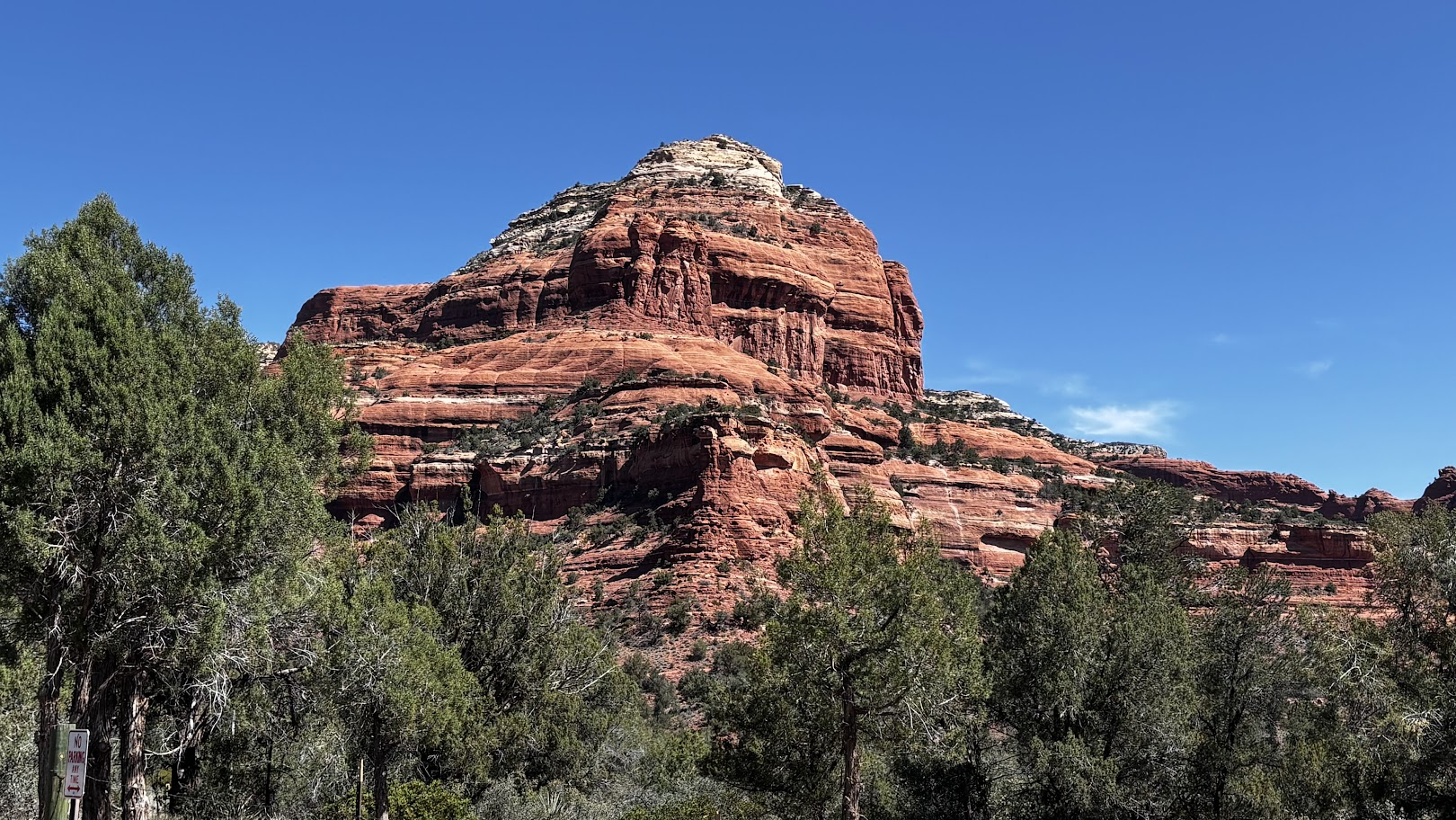
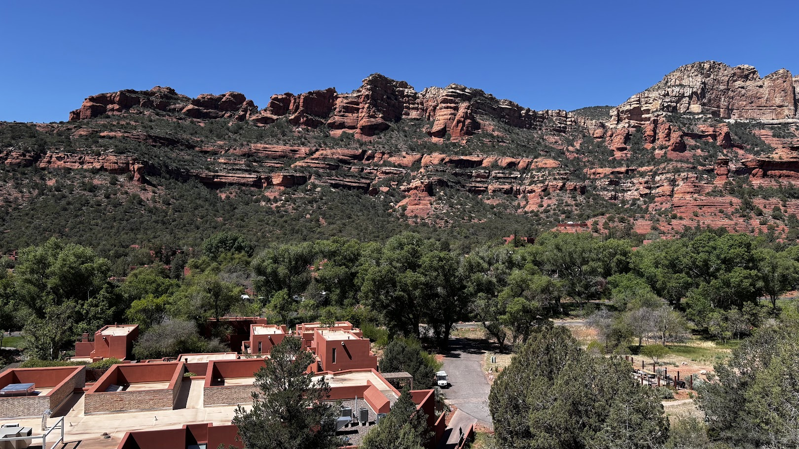
Sedona, Arizona is a place where I would spend a whole week and still had to carefully pick the best hiking trails. It's a place where topography and climate change dramatically. Driving from the north (Flagstaff), the landscape goes from an alpine forest to a hot, dry desert dotted by red sandstone formations and canyons.
[POL] Sedona w Arizonie to miejsce, gdzie mógłbym spędzić tydzień urlopu a i tak mieć kłopot z wyborem najlepszych szlaków. To miejsce, gdzie topografia i klimat zmieniają się dramatycznie. Jadąc od północy (Flagstaff), widzimy jak krajobraz zmienia się z alpejskiego lasu na gorącą pustynię usianą formacjami z czerwonego piaskowca.
Boynton Canyon Trail
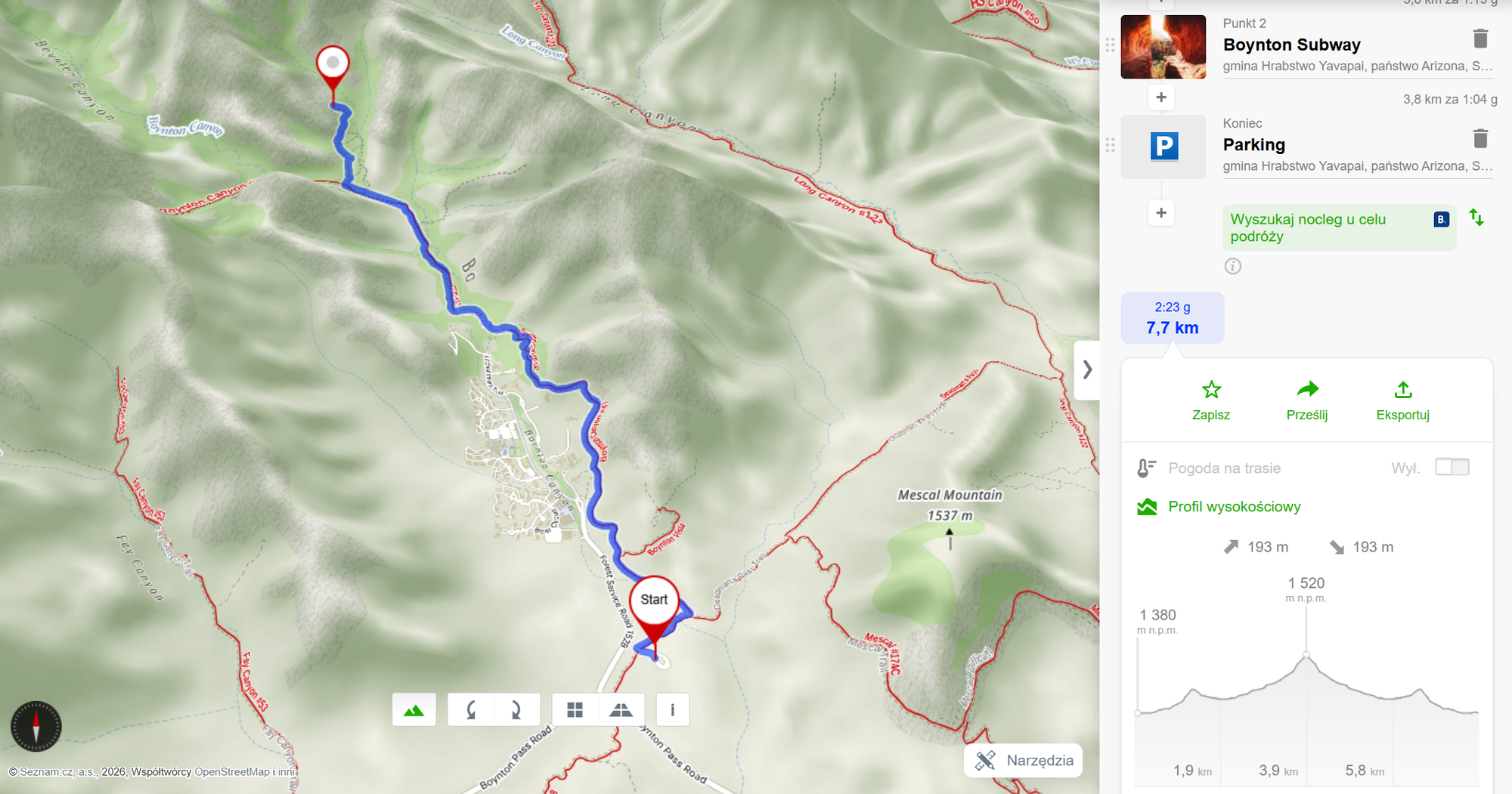
Boynton Canyon Trail is one of many near Sedona. If not for the Subway Cave awaiting at the end, probably I wouldn't have selected it. But I am perhaps spoiled by all the red rocks trails I have trekked in the US southwest (see my collection from 2025 and 2026 road trips). The trail is easy, beautiful on its own and definitely worth going 3.8km one way to see the treasure at its end.
[POL] Szlak Boynton Canyon jest jednym z wielu wokół Sedony. Gdyby nie jaskinia Subway Cave czekająca na końcu, prawdopodobnie nie wybrałbym go. Ale jestem już chyba rozpieszczony szlakami amerykańskiego południowego zachodu (polecam moje posty z dwóch podróży w 2025 i 2026r.). Obiektywnie ujmując, szlak jest przyjemny, widokowy i warty polecenia. Prawdziwy skarb czeka jednak na końcu 3,8km trasy.
Subway Cave
Boynton Canyon Subway Cave had long been a local, well-kept secret. Until Ed Preston, wanderer and blogger, visited it and published its coordinates. He was banned from a local Facebook group, as if betraying a state secret. Now, the cave is a popular destination for photo sessions.
[POL] Jaskinia Boynton Canyon Subway Cave długo była lokalnym, dobrze strzeżonym sekretem. Aż niejaki Ed Preston, podróżnik i blogger, odkrył to miejsce i opublikował koordynaty GPS. Został za to wyrzucony z lokalnej grupy na Facebooku - jakby zdradził państwową tajemnicę. Obecnie jaskinia jest popularnym celem sesji fotograficznych.
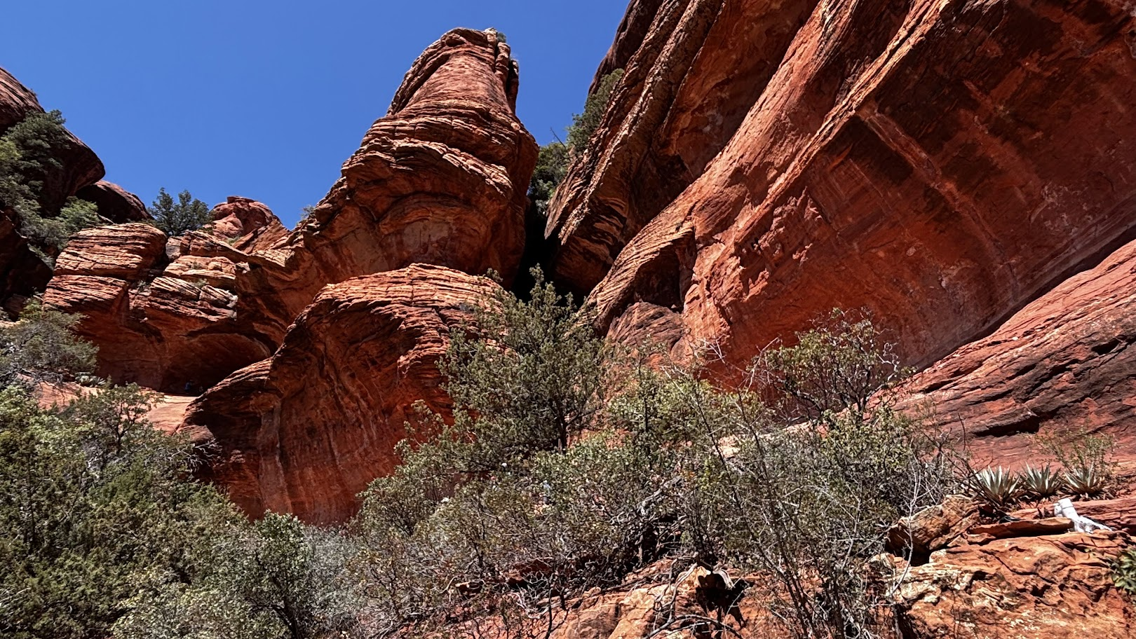
While the trail is easy, the final climb requires a bit of skill to negotiate a slippery sandstone plate. Once up, we are in a cavern that looks like cut in half. Taking a photo from inside towards the sunny opening, creates a spectacular view of bright red rocks against blue sky.
[POL] Szlak jest łatwy, ale na końcu trzeba się trochę pogimnastykować, żeby wejść po śliskiej płycie z piaskowca. Gdy już jesteśmy na górze, znajdujemy się w półotwartej jaskini, która wygląda jakby przecięta na pół. Robiąc zdjęcie z zacienionego wnętrza w kierunku słonecznego otworu, mamy przepiękny widok czerwonych skał na tle bezchmurnego nieba.
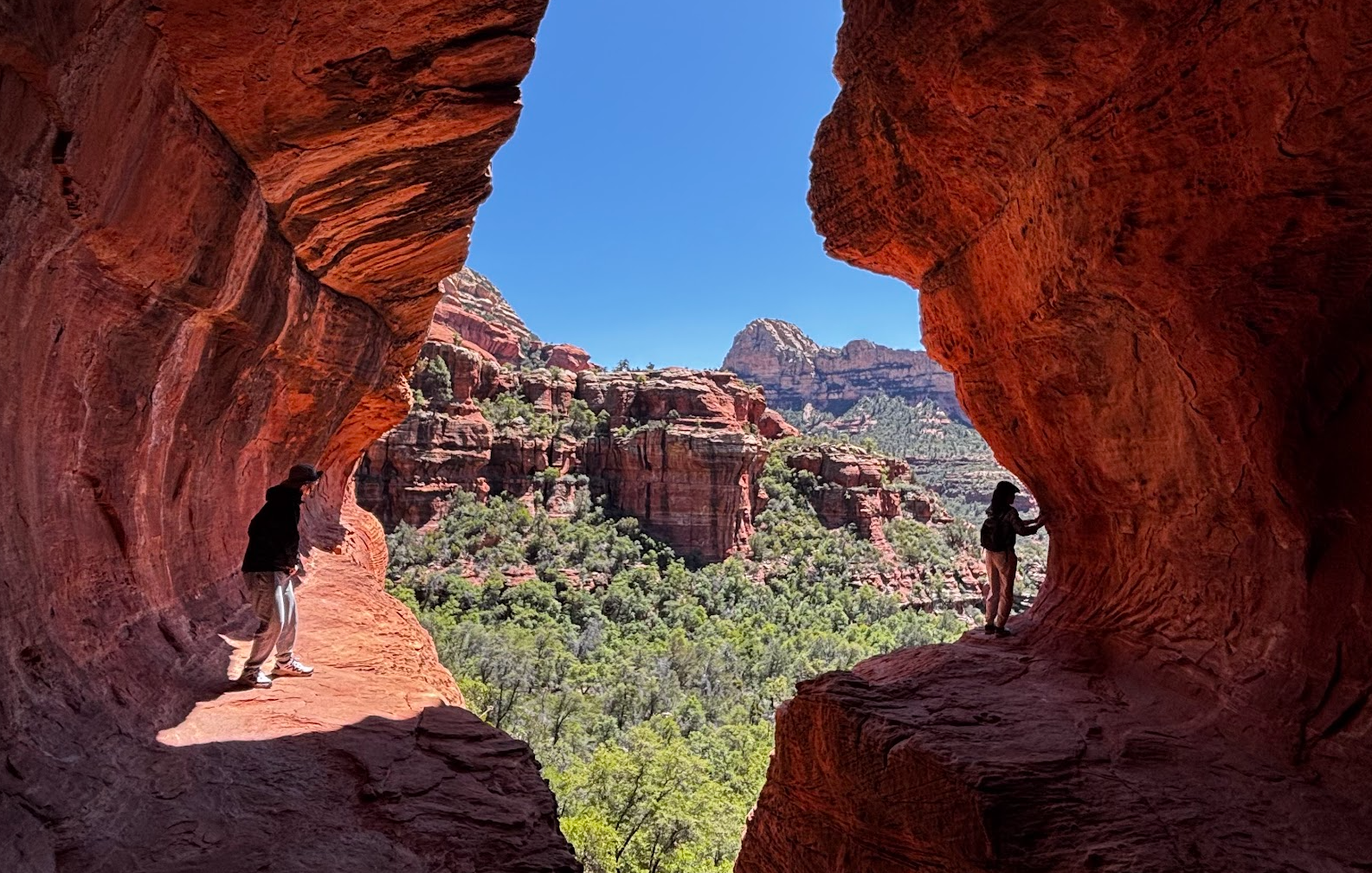
We got there around midday on a sunny Sunday in April. The light was perfect. It was however difficult to take a photo without other people in the background. It wasn't really crowded, but it is a small place and visitors were queuing for the best photo shot.
[POL] Dotarliśmy na miejsce około południa. Słoneczny dzień gwarantował dobre światło, ale z drugiej strony nie byliśmy jedynymi, którzy odwiedzili to miejsce w niedzielne popołudnie. Nie było tłumów, ale trudno było zrobić zdjęcie bez bohaterów drugiego planu.
Interstate 89
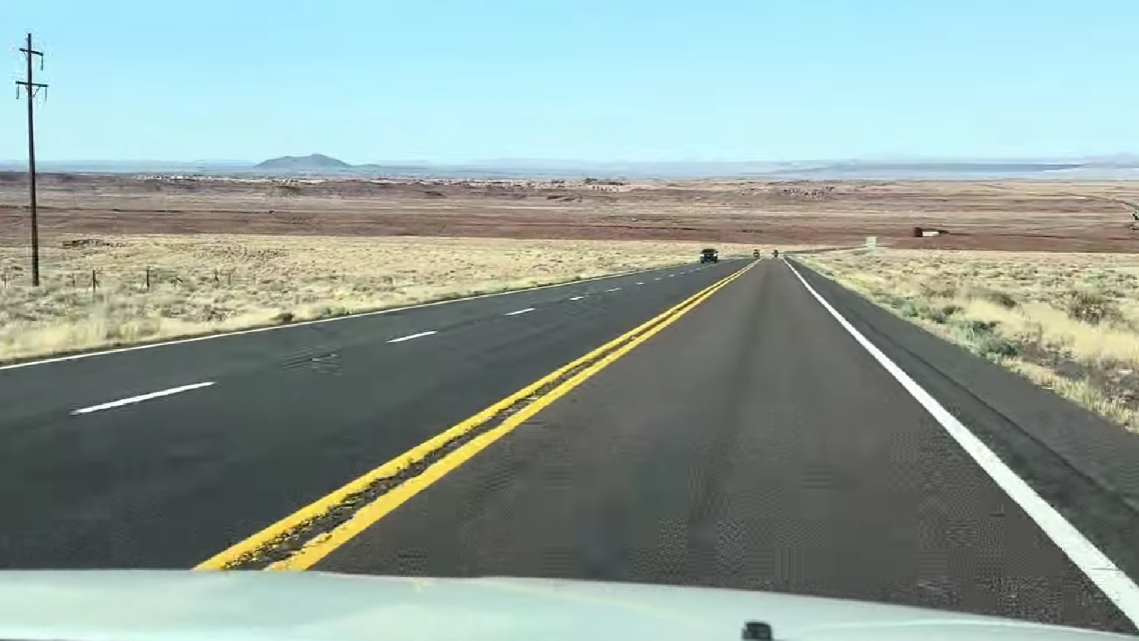
It was the only hike planned for day 7 of our US road trip. When completed, we drove north, towards Page. Traffic was initially slow in and near Sedona, but once north of Flagstaff, we entered an empty expanse of the US Hwy 89. This road is a tourist destination on its own!
[POL] To był nasz jedyny szlak pieszy zaplanowany na siódmy dzień naszej przygody. Wyjazd z Sedony był mocno zakorkowany, ale na północ od Flagstaff wjechaliśmy na pustą, ciągnącą się po horyzont drogę federalną nr 89. Ta szosa jest atrakcją turystyczną sama w sobie!
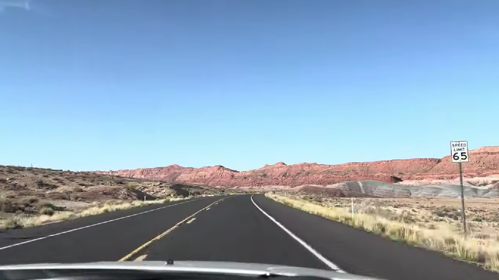
At times the road stretches in a straight line to the horizon - I could fall asleep behind the steering wheel. But don't fall for it - there are sections with out-worldly views on both sides of the road. Above and below, see two short videos shot from our car.
[POL] Droga momentami ciągnie się prosto po horyzont. Można zasnąć za kierownicą bez ryzyka spowodowania wypadku. Ale warto mieć oczy otwarte - czasami krajobraz nagle się zmienia i wydaje się, że znaleźliśmy się na innej planecie. Powyżej i poniżej umieszczam dwie krótkie rolki nakręcone z auta.
Page, Arizona
Shell Fuel Station
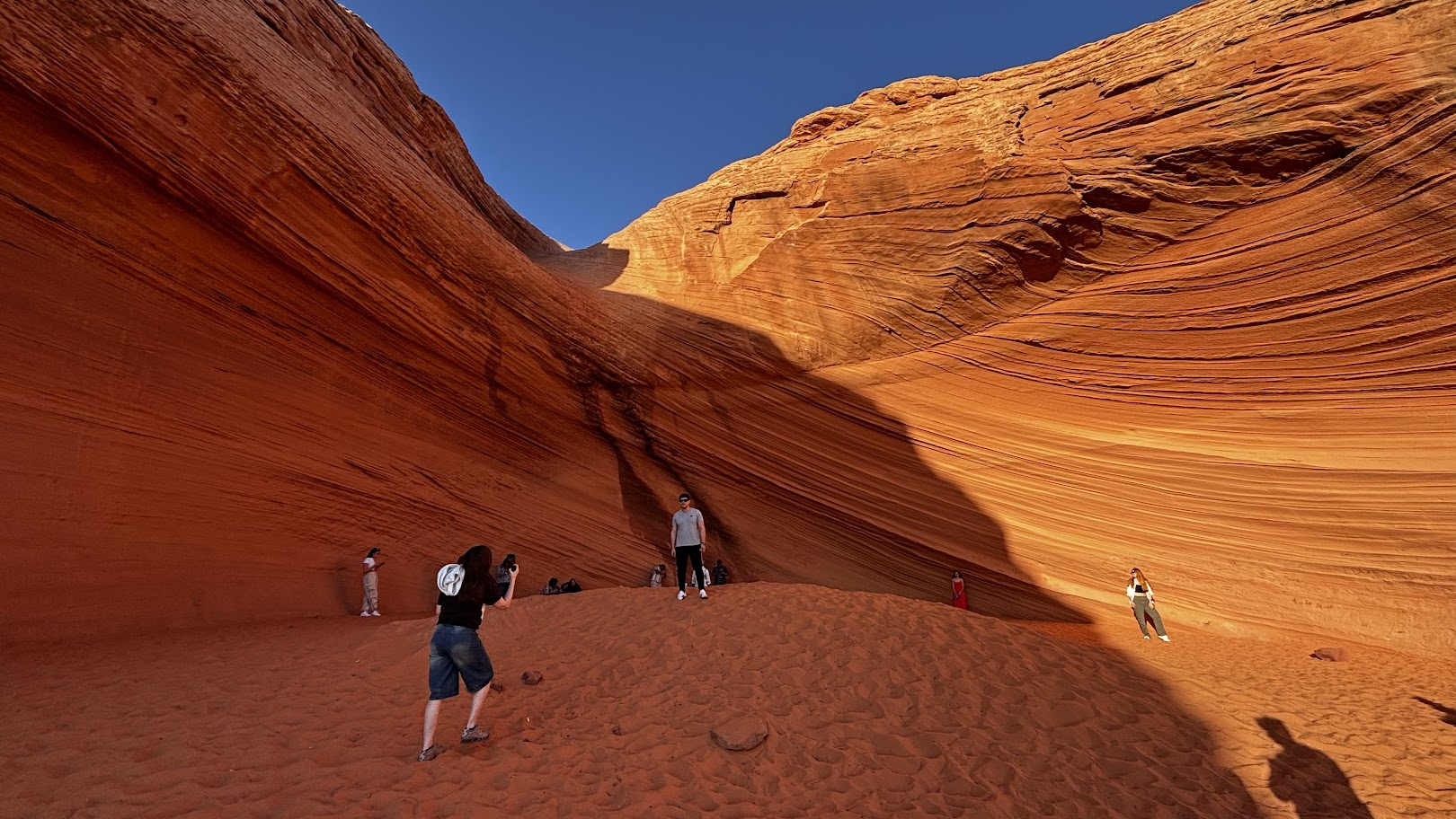
Arizona is a state where even a fuel station becomes a tourist attraction. Well, not quite the station itself. Right behind Shell in Page, there is a shallow cave carved by erosion in the local orange sandstone.
[POL] Arizona to stan, gdzie nawet stacja benzynowa staje się atrakcją turystyczną. No dobrze, nie sama stacja. Tuż za Shellem w Page, znajdujemy płytką jaskinię, którą erozja wyrzeźbiła w lokalnym pomarańczowym piaskowcu.
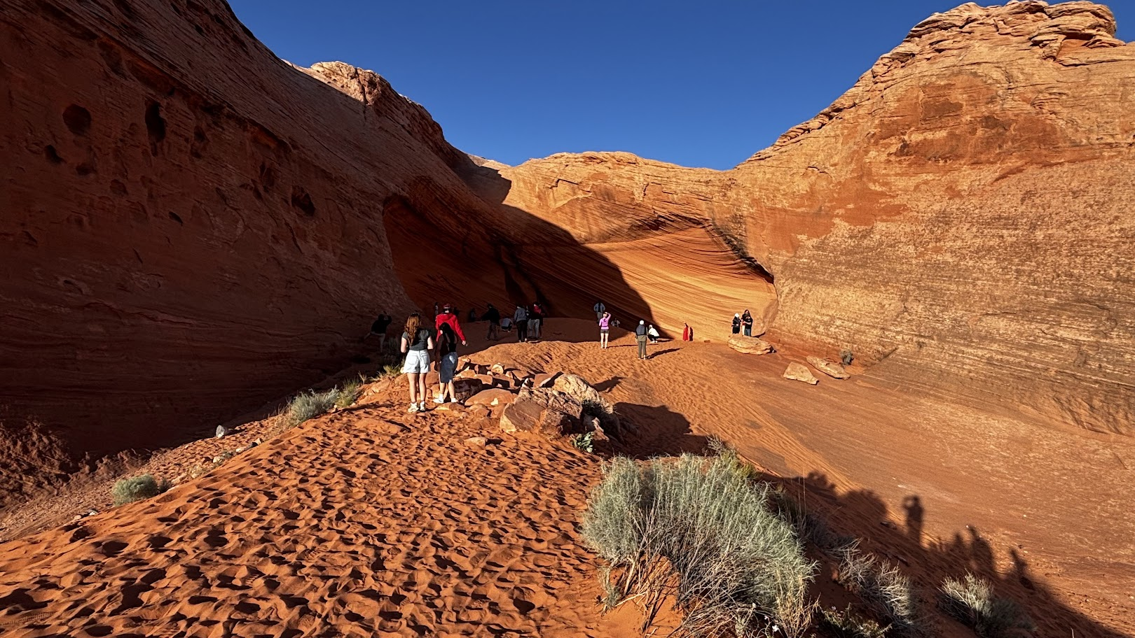
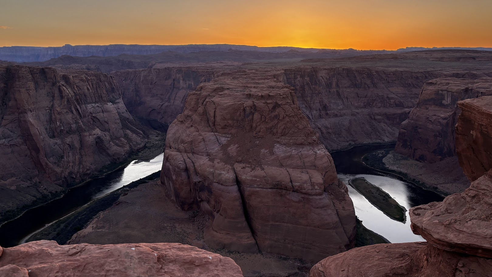
The place is best in the afternoon. We got there one hour before sunset and saw fantastic contrast of sunny and shady rocks. The timing was intentional - I had planned to reach Horseshoe Bend of the Colorado river by sunset and the Shell Cave was just a few minutes' drive away.
[POL] Najlepszą porą jest popołudnie. Dotarliśmy na miejsce godzinę przed zachodem słońca i byliśmy świadkami pięknych kontrastów między ocienionymi i nasłonecznionymi skałami. Pora była zaplanowana - celem był zachód słońca nad pobliskim zakolem rzeki Colorado - Horseshoe Bend.
Horseshoe Bend
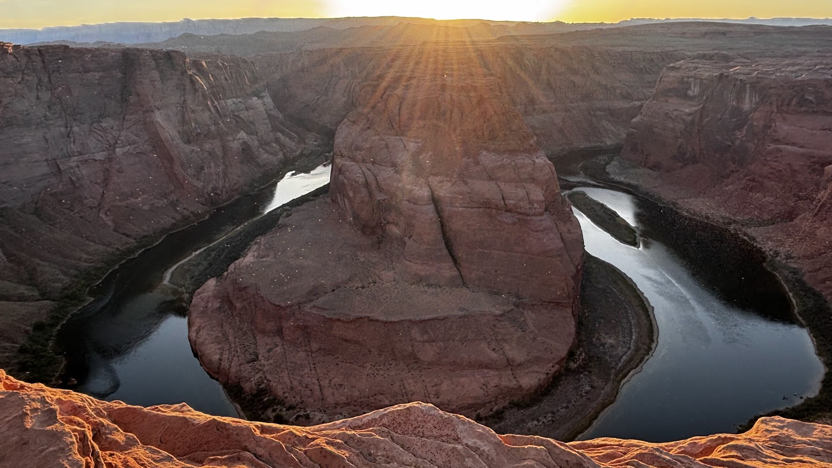
I had visited Horseshoe Bend during my last year's trip. It had been midday and we had perfect views. This year, our day ended in Page and I had the opportunity to see the Colorado bend in a different light.
[POL] Horseshoe Bend zobaczyłem w czasie ubiegłorocznej wyprawy. Wtedy byliśmy tam w środku dnia i mieliśmy perfekcyjne widoki. W tym roku, Page było końcem etapu i miałem okazję by popatrzeć na zakole rzeki Colorado w innym świetle.
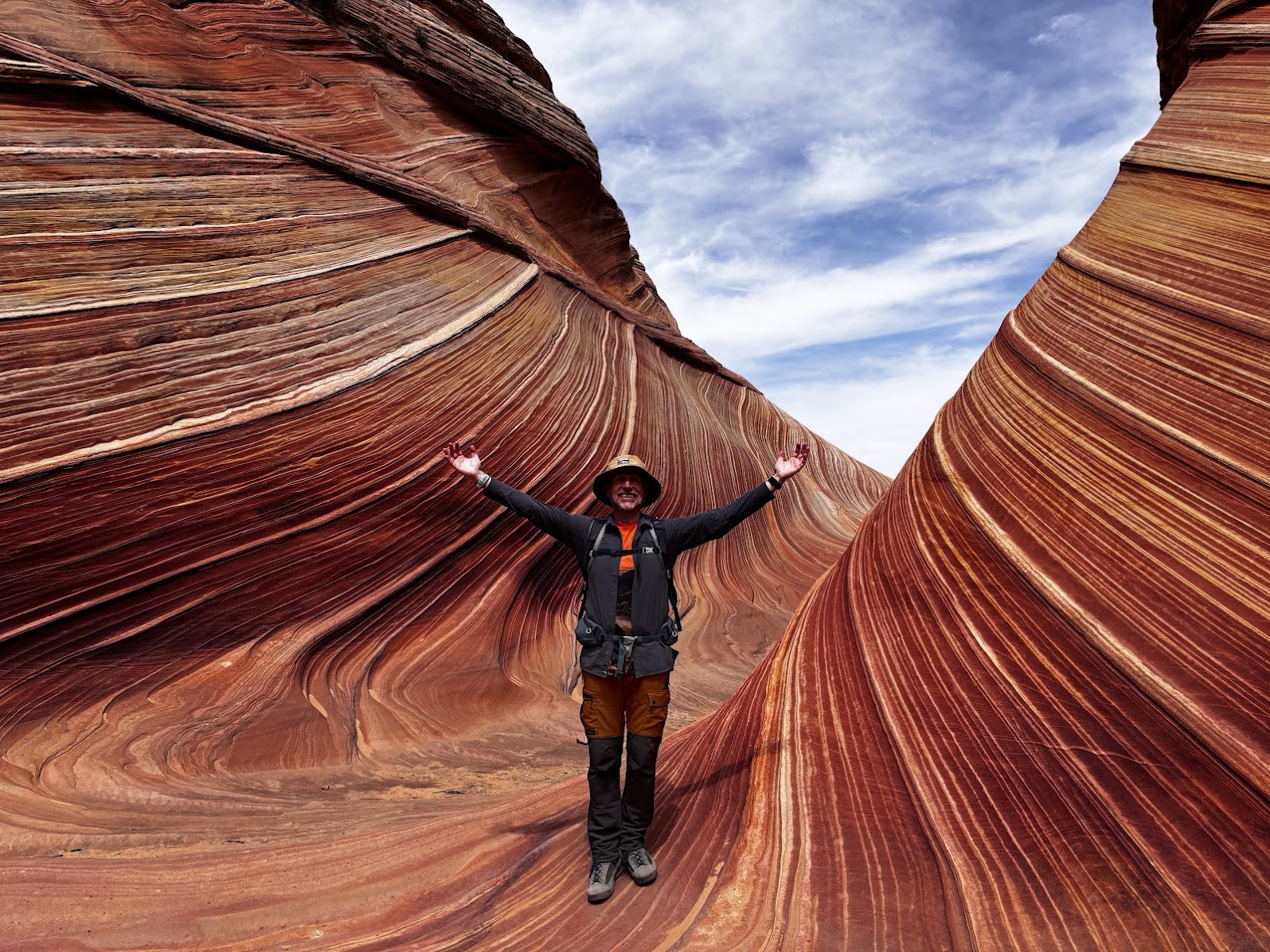
The following day would be the highlight of the whole trip. We won the lottery and got a permit for Coyote Buttes North - known as the Wave. Only a maximum of 64 hikers are permitted every day!
[POL] Kolejnego dnia czeka nas kulminacja całej wyprawy. Wygraliśmy na loterii pozwolenie na trekking w Coyote Buttes North - miejscu znanym jako the Wave. Dzienne maksimum pozwoleń to zaledwie 64 wejściówki!
/ następny odcinek:
Page, AZ => Mt Carmel Jct, UTHighlights / główne atrakcje: The Wave
![Route 66 and Hoover Dam. Long Drive West. US Southwest trip Day 8 [POL / ENG]](https://img.truvvle.com/?src=aHR0cHM6Ly9pbWcudHJhdmVsZmVlZC5pby9zbnVma2luJTJGMjAyNS0wNy0yNy0xNy0wNy03MTYtaG9vdmVyZGFtLXBuZw&width=800)
![Inside the Grand Canyon. South Kaibab - Tonto - Bright Angel. US Southwest trip Day 7 [POL / ENG]](https://img.truvvle.com/?src=aHR0cHM6Ly9pbWcudHJhdmVsZmVlZC5pby9zbnVma2luJTJGMjAyNS0wNy0xNy0xNS0wNy04NDctZ3JhbmRjYW55b24yLXBuZw&width=800)
![Grand Canyon National Park. South Kaibab Trail: Down & Back Up. US Road Trip 2026: Day 6. [POL/ENG].](https://img.truvvle.com/?src=aHR0cHM6Ly9pbWcudHJhdmVsZmVlZC5pby9zbnVma2luJTJGMjAyNi0wNy0wOS0xNy00Ny0xNi02NDAtZ3JhbmRjYW55b25fYmVzdC1qcGc&width=800)
![Grand Canyon South Rim Trail / Szlak brzegiem Wielkiego Kanionu. US Southwest trip Day 6 [POL / ENG]](https://img.truvvle.com/?src=aHR0cHM6Ly9pbWcudHJhdmVsZmVlZC5pby9zbnVma2luJTJGMjAyNS0wNy0wMS0xOS0wNy04NTEtZ3JhbmRjYW55b24tcG5n&width=800)