
Grand Canyon National Park in Arizona needs no introduction. Over 4 million tourists visit it every year and post iconic photos. It is a 'must visit' during every southwestern US road trip. I had visited it in 2025 and spent two days there - we walked over 20km along the south rim and hiked down to Tipoff point. I had not, however, reached the bottom - which is 1440m lower than the south rim. I returned in April 2026 and went down to the very bottom and up on a single day.
[POL] Park Narodowy Wielkiego Kanionu (Grand Canyon National Park) w Arizonie nie potrzebuje przedstawiania. Ponad 4 miliony turystów rocznie odwiedzają ten cud natury i publikują ikoniczne zdjęcia (przy okazji - ciekawostka - w 2025 Tatrzański Park Narodowy miał prawie milion więcej odwiedzin niż Wielki Kanion...). Byłem w Wielkim Kanionie w 2025 i poznawałem go dwa dni - przeszedłem ponad 20km wzdłuż południowego brzegu oraz wędrowałem w jego głębi. Nie zdobyłem się jednak wtedy na zejście na samo dno (1440m poniżej południowego brzegu). W kwietniu 2026 znów byłem w Kanionie i tym razem dotarłem do rzeki i wróciłem tego samego dnia na górę.

Each day of my
April 2026 road triphad been designed to move down the planned route (
a 15-days loop from Denver) and stop for hikes.
[POL] Każdy dzień podróży był zaplanowany tak, aby przesuwać się po pętli (15 dni ze startem i metą w Denver) i zatrzymywać się na trekkingi.
Previous stage / poprzedni odcinek: St. Michaels, AZ. => Williams, AZ
Highlights / główne atrakcje: Petrified Forest National Park and El Diablo (Barringer) Crater
US Road Trip 2026, Day 6
Highlights
Accommodations
Start: Howard Johnson by Wyndham, Williams, Arizona
End: Howard Johnson by Wyndham, Williams, Arizona
Driving
Hiking
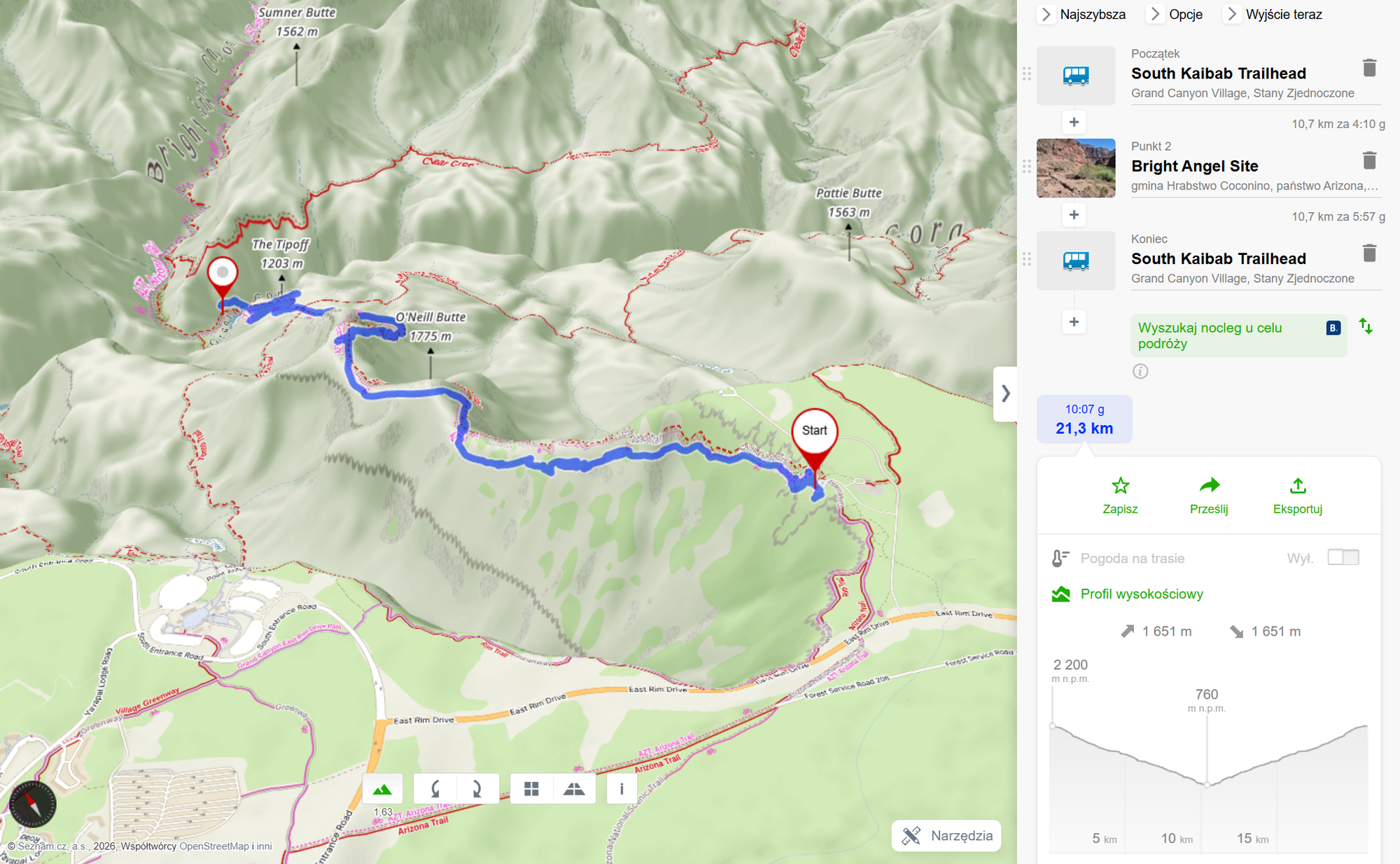
South Kaibab Trail - down to the river and up
Grand Canyon National Park
Travel in Time
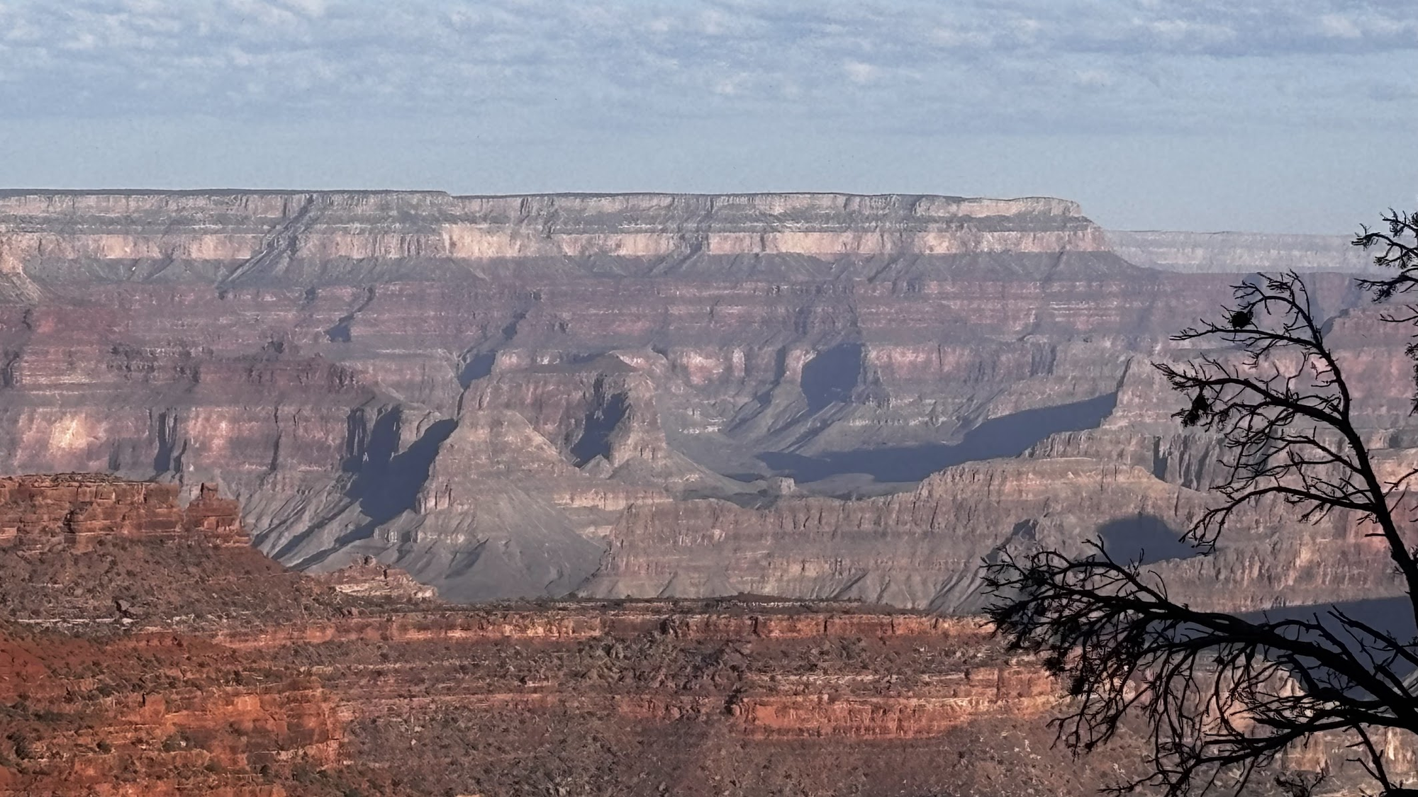
Getting down to the bottom of the Grand Canyon is an epic trek across geological history. As one descends, layers of sediments (mostly sandstone) can be seen up and close. They are visually different from one another, changing colors as one gets down.
[POL] Zejście w dół Wielkiego Kanionu to epicka podróż przez geologiczną historię. Schodząc w dół poznajemy kolejne warstwy skał osadowych (głównie piaskowiec). Poszczególne warstwy różnią się wyraźnie, zmieniając kolor w miarę zagłębiania się w kanion
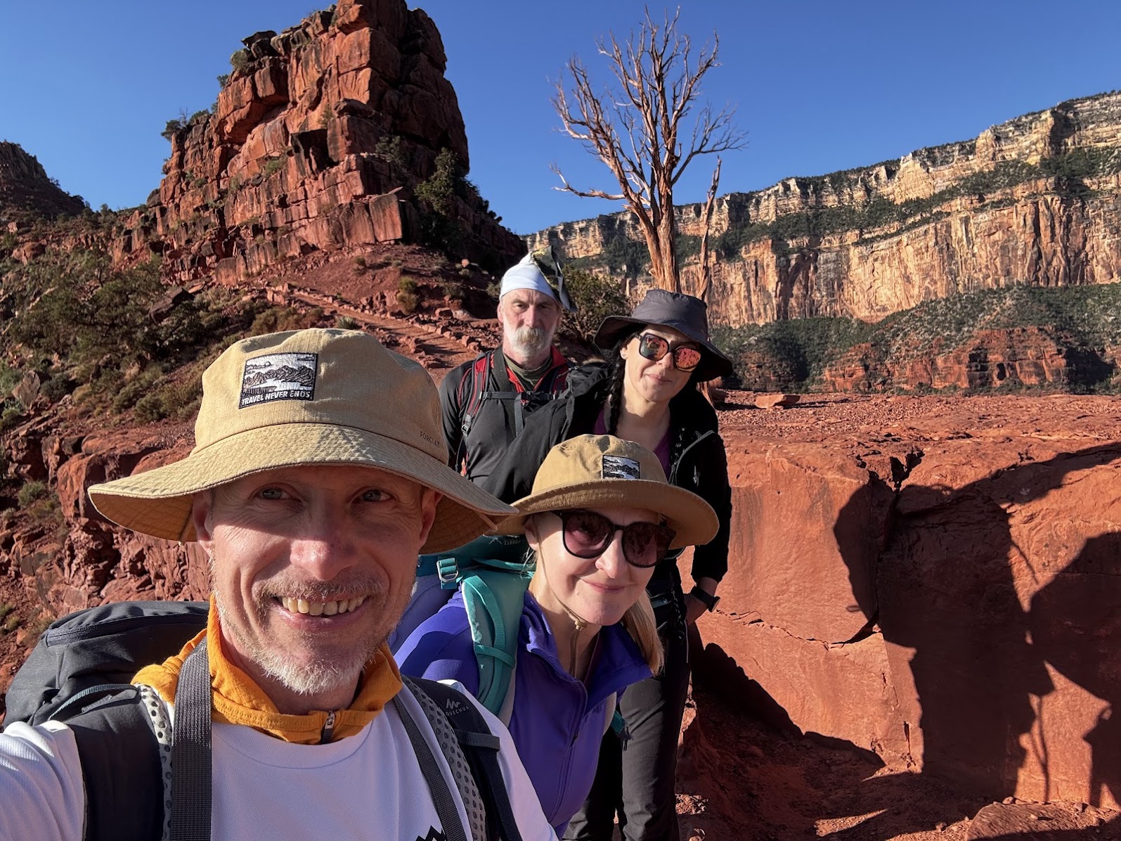
This post is not a lecture in geology. I am not going to name the layers nor give their estimated age. This is a personal story of four friends who fulfilled a dream.
[POL] Ten post nie będzie lekcją geologii. Nie będę wymieniał poszczególnych warstw i podawał ich wieku. To osobista historia czworga przyjaciół, którzy spełnili życiowe marzenie.
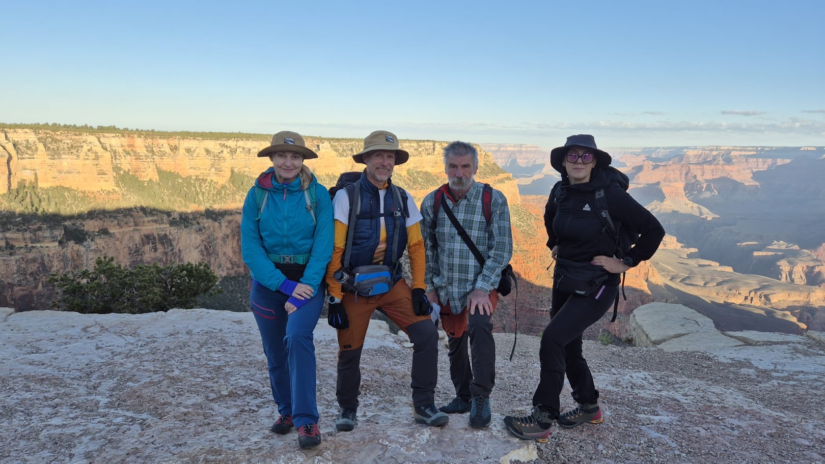
Let me give you the background - we are from Poland, we have hiked many miles in Poland, Czechia and Slovakia. We are not youngsters - the sum of our ages is above 200, but we live and breath mountain trails.
[POL] Znamy się z setek kilometrów przemierzonych na szlakach Polski, Czech i Słowacji. Dwoje z nas jest przewodnikami beskidzkimi. Suma wieku przekracza 200 lat, ale górskie wędrówki to dla nas chleb powszechni (weekendowy, jeśli mam być precyzyjny).
Down To the Bottom
South Kaibab Trailhead
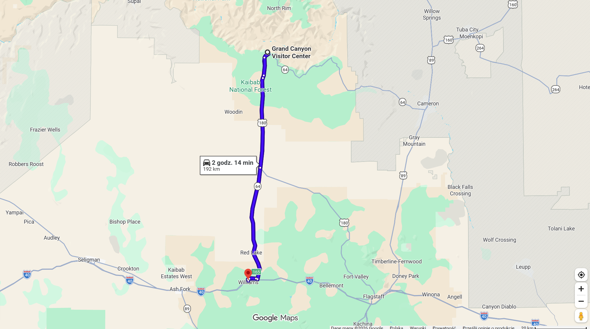
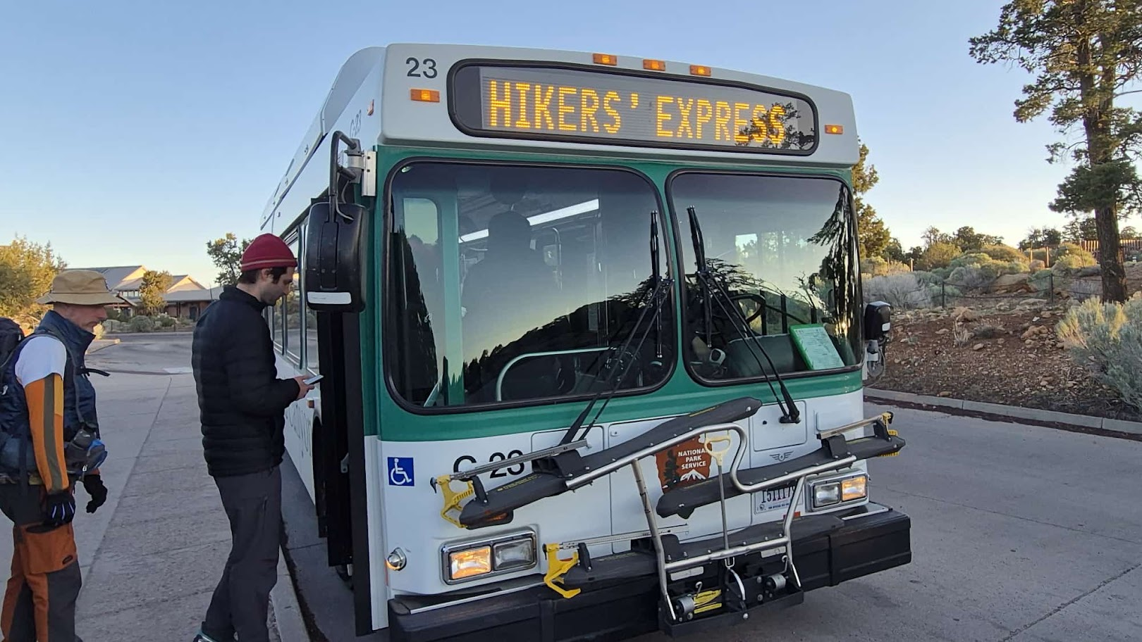
April 17, 2026 was a cold and beautifully sunny day. We left our motel in Williams at 5am. It's a bit over 1 hour drive to the main parking lot at Grand Canyon National Park (South Rim). At 6:20am we boarded a free park shuttle - "Hikers' Express" took us to the South Kaibab Trailhead. It was about 0° Celsius when we started at 6:30. It meant perfect conditions for such an endeavor.
[POL] 17 kwietnia 2026 był chłodnym i bezchmurnym dniem. Z naszego motelu w Williams wyjechaliśmy o 5 rano. Dojazd do parkingu przy centrum informacyjnym (South Rim) Wielkiego Kanionu zajął nam trochę ponad godzinę. O 6:20am wsiedliśmy do darmowego autobusu parkowego "Hikers' Express", który zabrał nas na początek szlaku ( South Kaibab Trailhead). Gdy zaczynaliśmy szlak o 6:30, było 0° . To wymarzone warunki na takie przedsięwzięcie.
Ooh-Aah
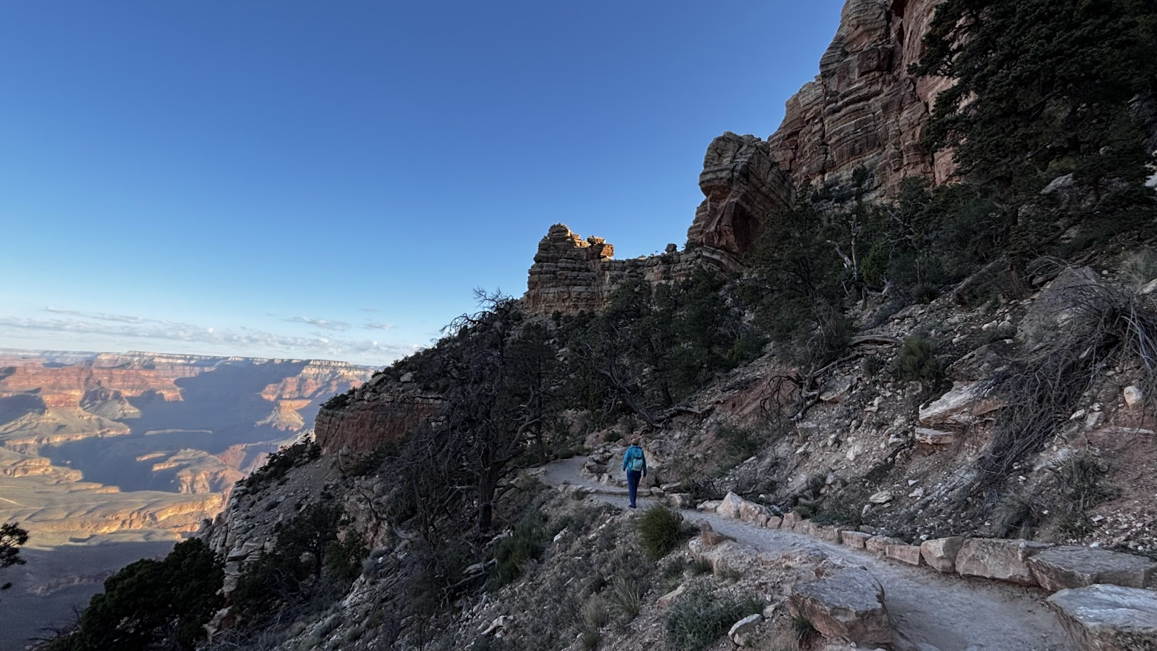
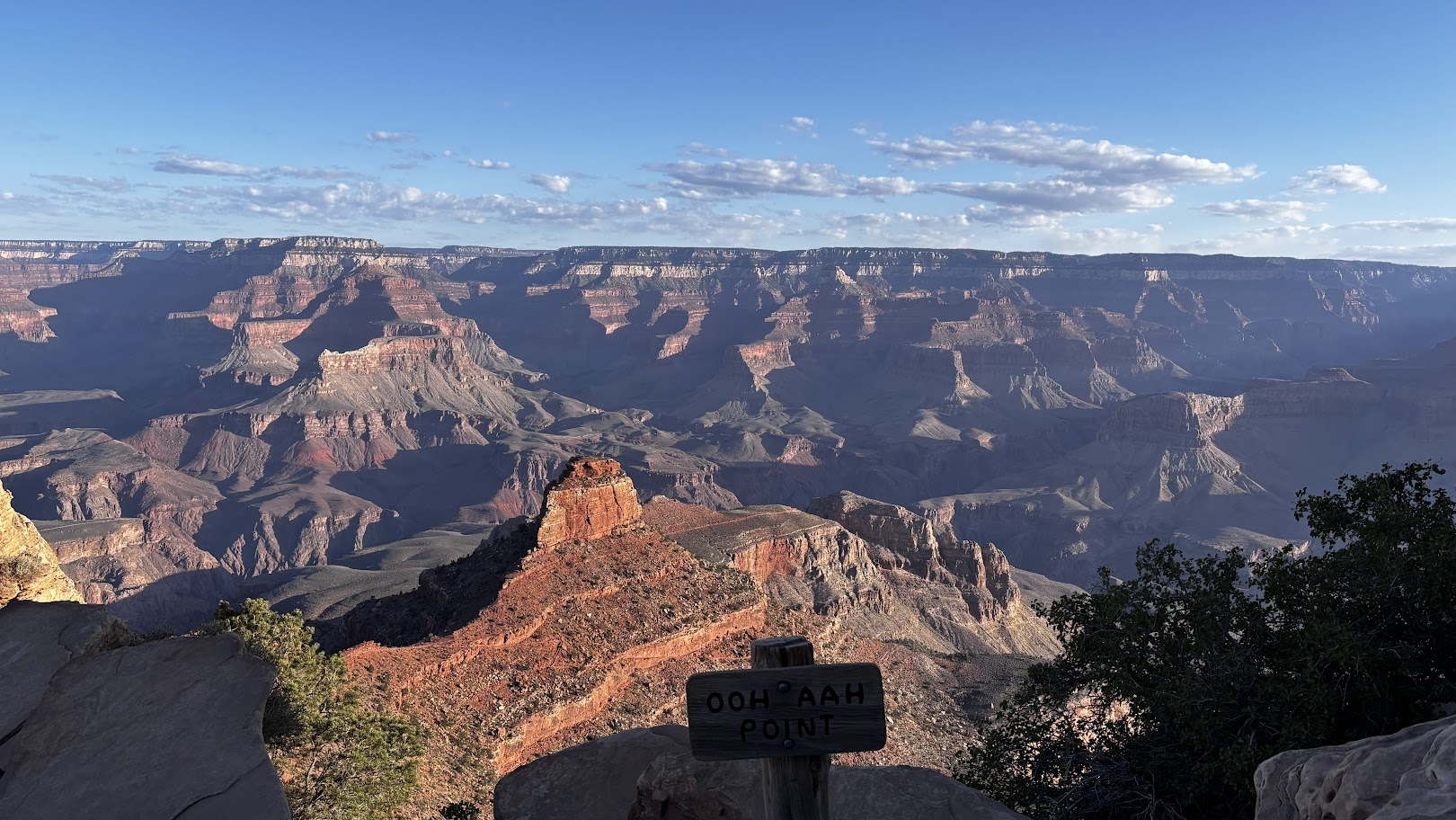
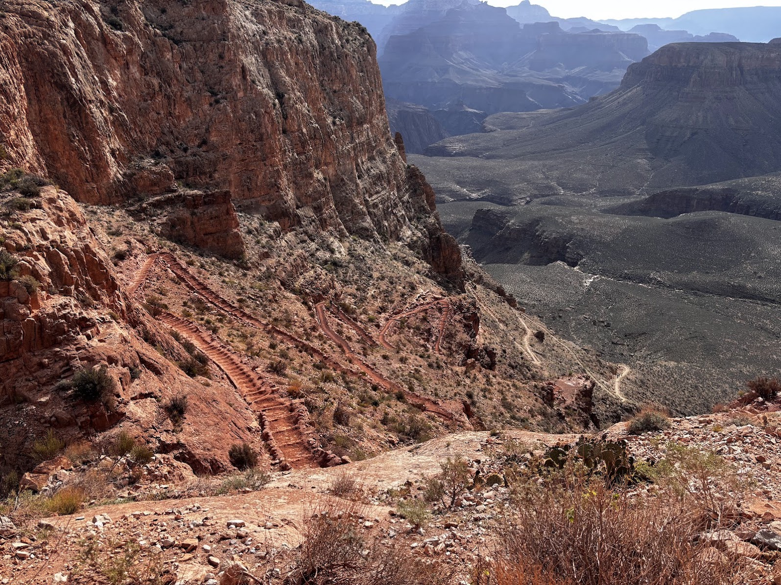
Two of us had been to Grand Canyon before (see this post from 2025). Nevertheless all of us were in 'Ooh-Aah' mode. Cool morning air, blue skies and most importantly the sheer size of the canyon itself, all contributed to our awe. The trail zig-zags down in countless switchbacks. Each turn means a different view and every couple dozens meters of elevation drop means a different rocks layer.
[POL] Dwoje z nas doświadczyło już ekscytacji zejścia do Wielkiego Kanionu (patrz post z 2025r). Mimo to, wszyscy byliśmy w trybie 'Och-Ach'. Zimne poranne powietrze, błękit nieba i przede wszystkim ogrom kanionu wprowadziły nas w stan wędrówkowej ekstazy. Szlak schodzi niekończącymi się zygzakami. Każdy zakręt to nowy widok, a co kilkadziesiąt metrów różnicy wysokości nasze stopy dotykają innej warstwy skał.
Red Sandstone
Sometimes the geological layers blend, but between Ooh-Aah Point and Cedar Ridge, the change cannot be missed. We left white-ish and yellow-ish Kaibab and Coconino formations to enter rusty-red Hermit formation. Red dust covered our boots.
[POL] Miałem nie pisać o warstwach geologicznych, ale pomiędzy punktami Ooh-Aah Point i Cedar Ridge nie sposób nie zauważyć, że zamiast jasnego kurzu (formacje Kaibab i Coconino), buty pokrywają się czerwonym pyłem. To formacja Hermit.
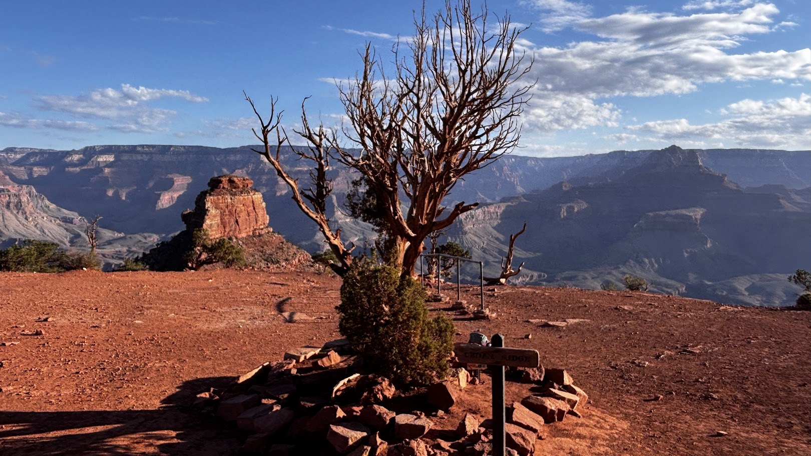
The red sandstone is spread all over the American southwest. It makes the landscape so spectacular. Especially when the skies are bright blue.
[POL] Czerwony piaskowiec jest charakterystyczny dla amerykańskiego południowego zachodu. To ten piaskowiec tworzy spektakularny krajobraz. Zwłaszcza w kontraście do czystego błękitu nieba.
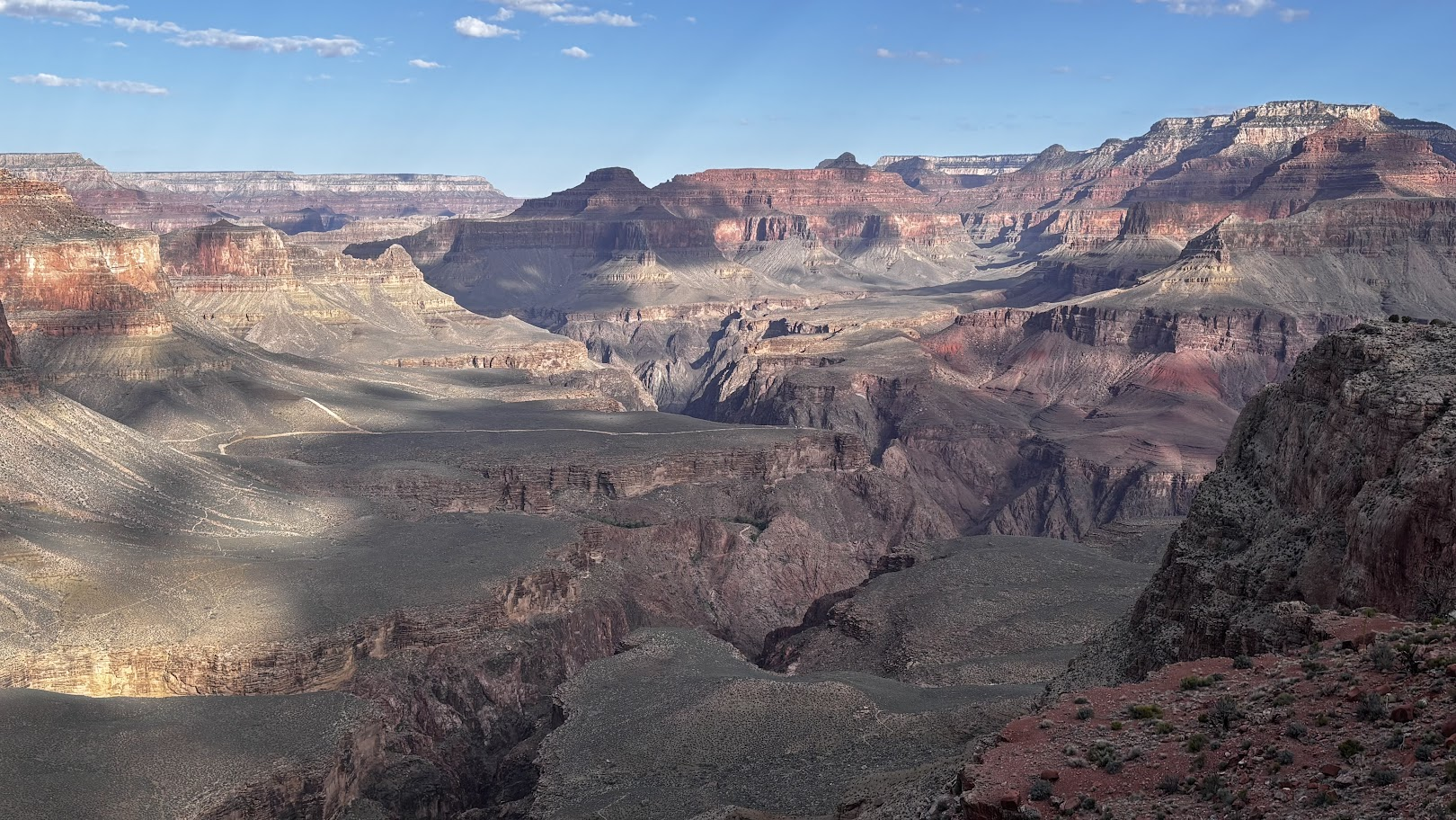
Expanse of the Canyon
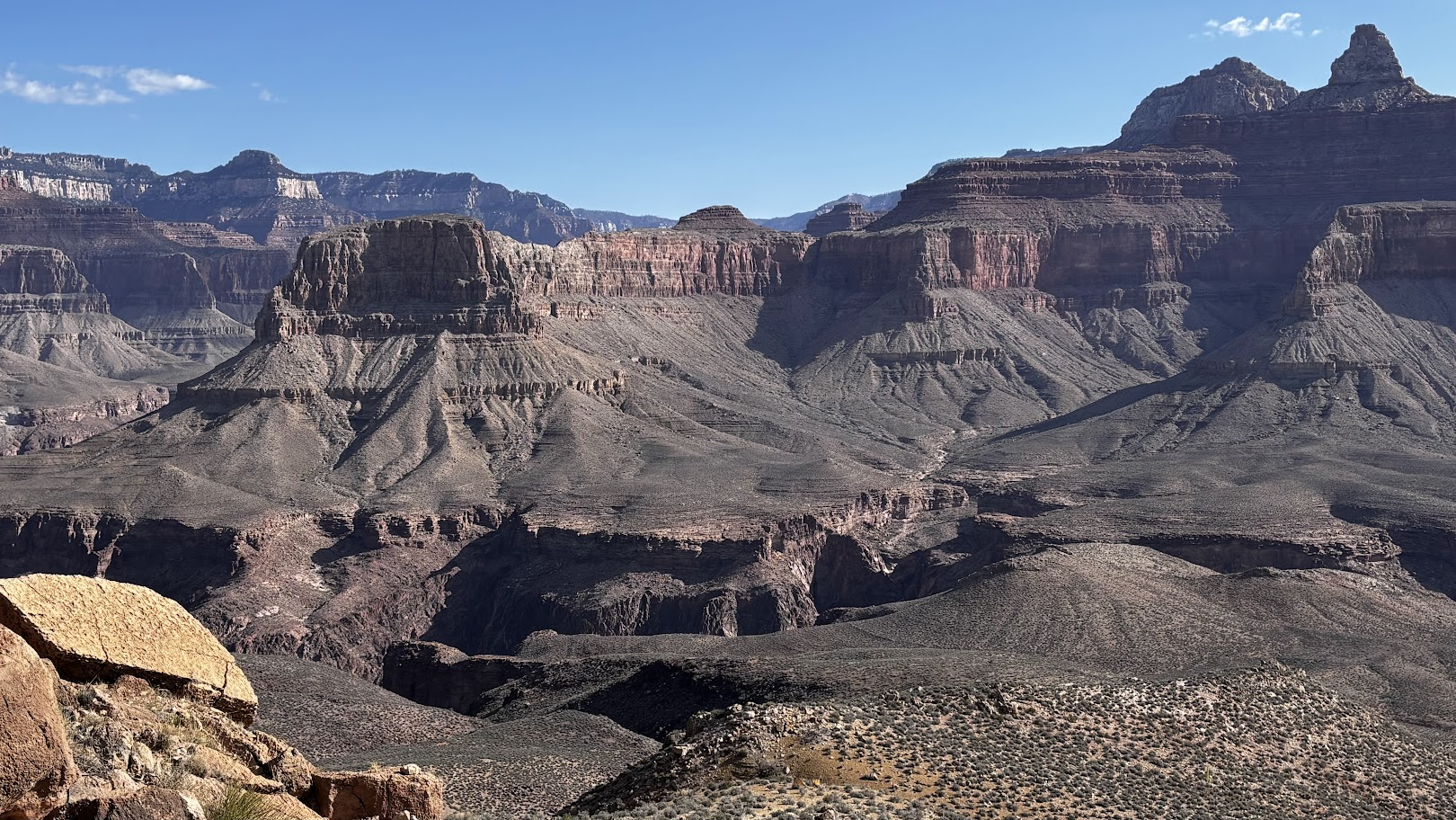
The Grand Canyon is not just deep (1440m from South Rim; 1860m from North Rim). It is not a narrow slot in the Colorado Plateau, as aerial photos may suggest - in its widest point the rims are 29km apart.
[POL] Wielki Kanion jest nie tylko głęboki (1660m od południowego i 1860m od północnego brzegu). Patrząc na zdjęcia lotnicze może nam się wydawać, że to wąska szczelina w Płaskowyżu Kolorado, ale w rzeczywistości jest także bardzo szeroki, dochodząc do 29km między brzegami.
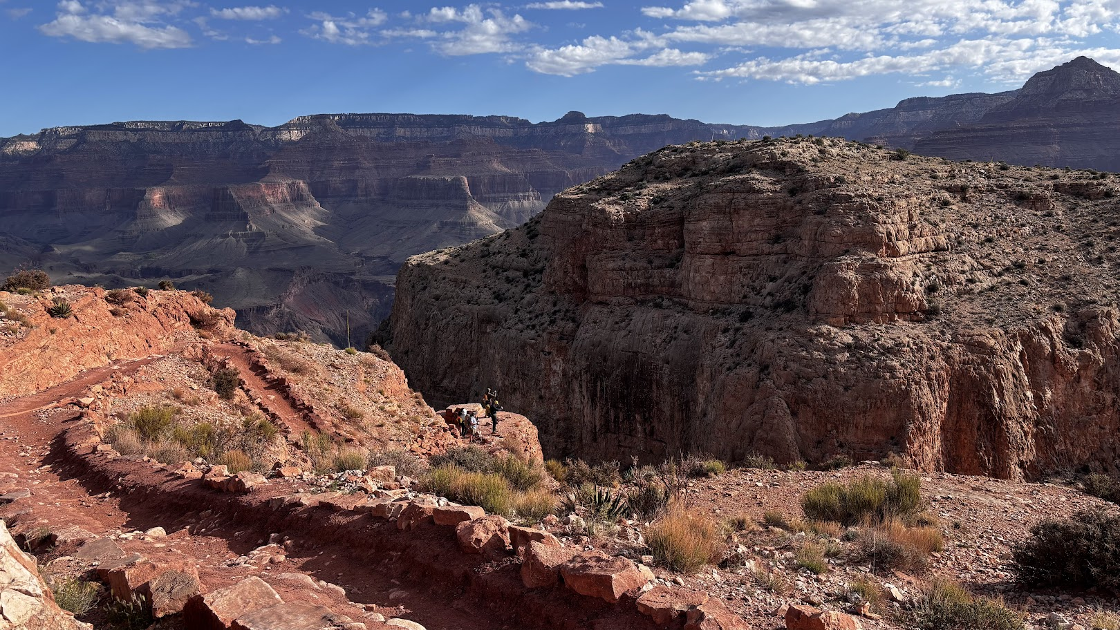
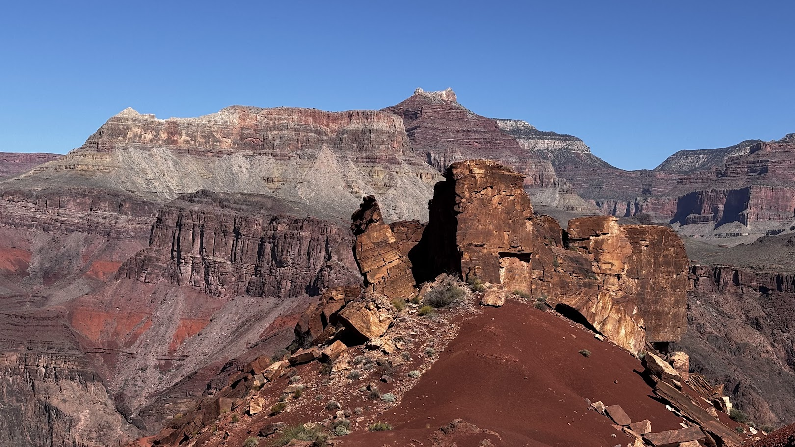
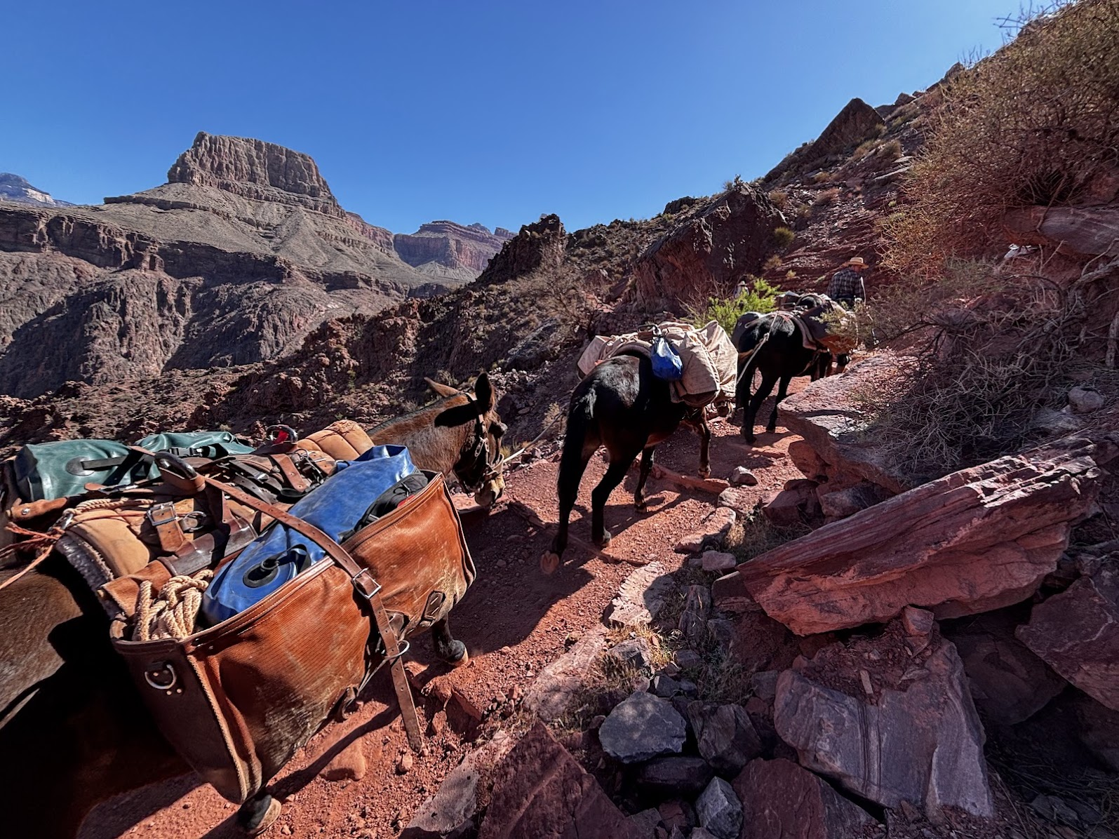
From this point on, I will minimize my comments and let the canyon speak for itself. Each photo is marked with time, distance and relative elevation. Enjoy the views!
[POL] Od tego miejsca ograniczę swoje gadulstwo. Niech piękno kanionu mówi samo za siebie. W opisie każdego zdjęcia umieszczam godzinę i dystans oraz zmianę wysokości. Podziwiaj widoki!
Tipoff Point
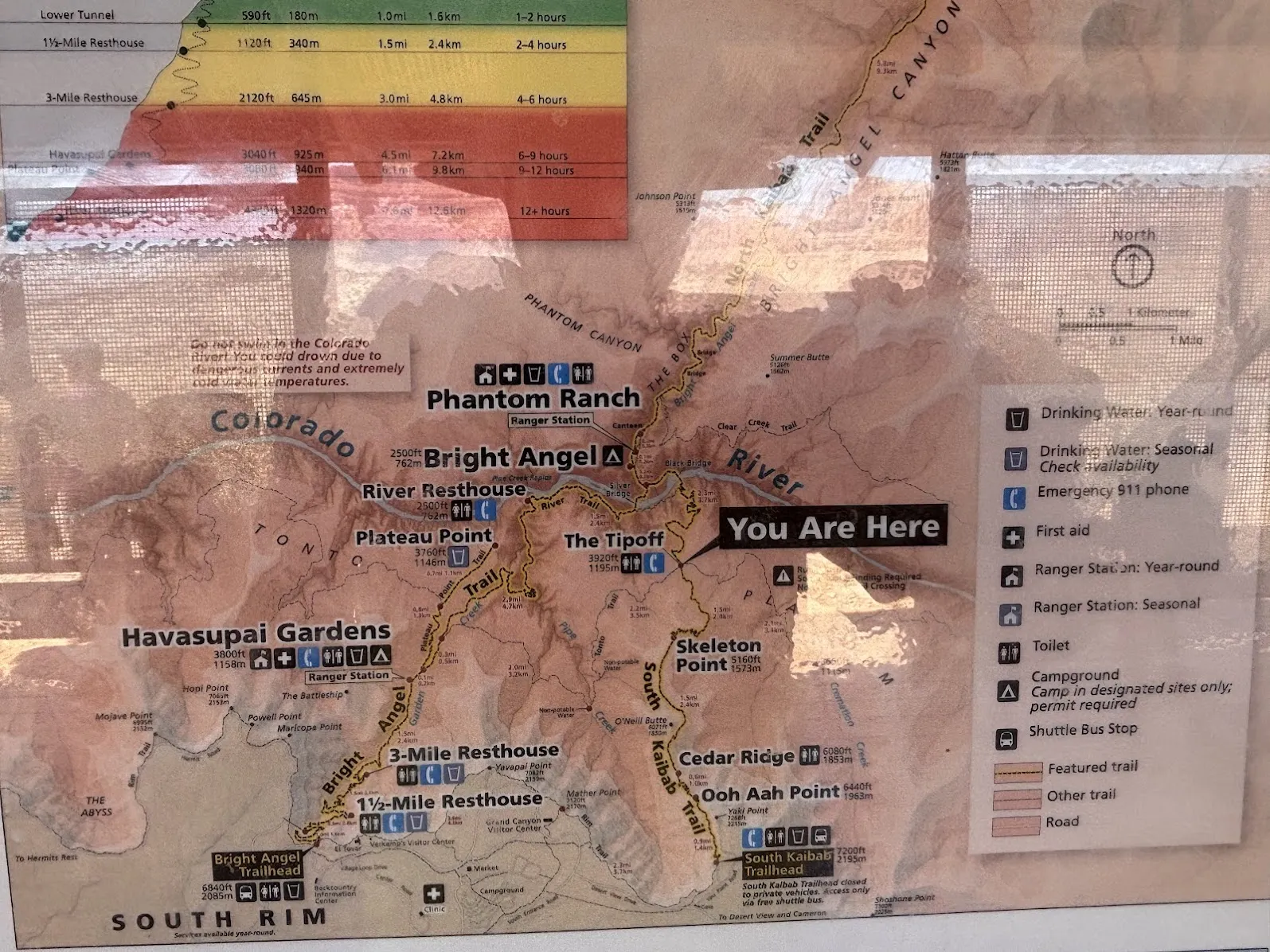
Tipoff Point is where I had reached last year. From that pointed we had hiked Tonto West (more or less along a line 1km of elevation drop below the South Rim) to Bright Angel trail. This time we would continue the descent to the river.
[POL] Punkt Tipoff to miejsce gdzie dotarłem rok temu. Z tego punktu poszliśmy wtedy szlakiem Tonto West (mniej więcej na poziomicy 1km poniżej południowego brzegu) by wrócić na górę szlakiem Bright Angel trail. Tym razem zejdziemy aż do samej rzeki.
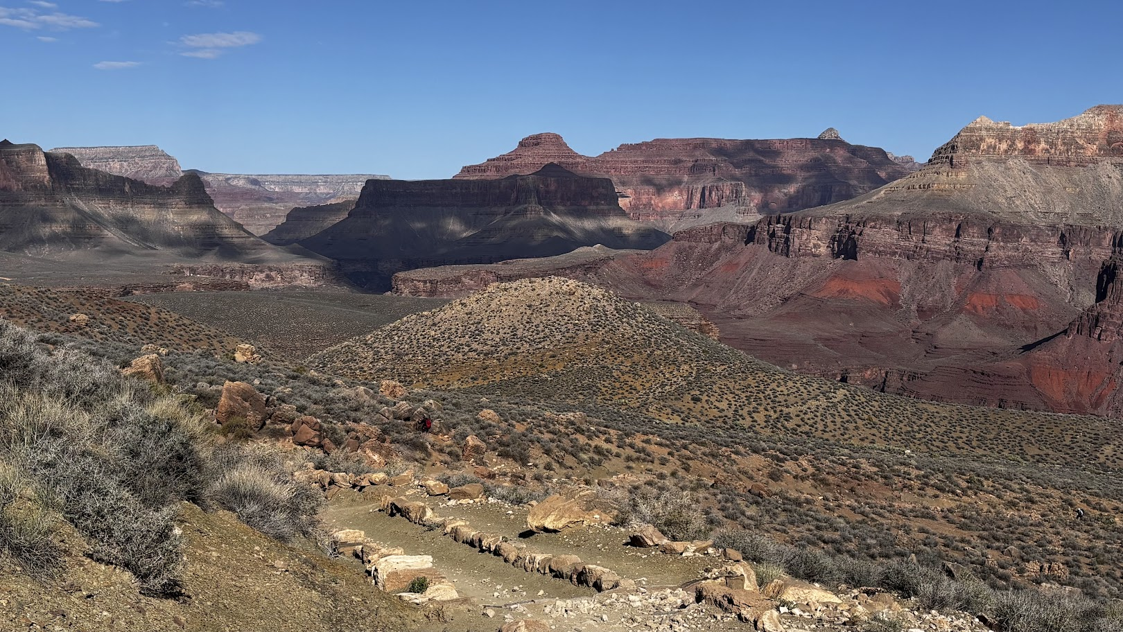
The Tipoff Point is a trail junction. There is a dry toilet and a shadowed rest place (but no water source). It is located ~1km elevation drop below the South Rim. Getting down is easy, but we had to remember that the hard part would be getting back up. This is not a small feat - every year people die in the canyon due to dehydration and fatigue. The key is the temperature. One can estimate 1° C temperature increase with each 100m down. We were blessed with a cool April day - 0° at the rim and about 22° when we reached the bottom. Do the math if you start at 20° at the rim... Note that the temperature given is the one officially measured in shade. The real-feel is much higher.
[POL] Punkt Tipoff jest węzłem szlaków. Jest tam sucha toaleta i ocieniona wiata (nie ma jednak źródła wody). Punkt jest położony około 1km w głąb kanionu licząc od południowego brzegu. Schodzenie jest łatwe, ale trzeba pamiętać o powrocie. I nie jest to spacer - w Wielkim Kanionie co roku ludzie umierają z odwodnienia i zmęczenia. Kluczem jest temperatura. Można założyć wzrost o jeden stopień na każde 100m zejścia. My mieliśmy błogosławieństwo chłodnego kwietniowego dnia - 0° na górze i około 22° na dole. Łatwo policzyć czego można się spodziewać jeśli zaczynamy od 20°. I zwróć uwagę, że podana temperatura to oficjalny pomiar w cieniu. W słońcu odczuwalna temperatura jest dużo wyższa.
Just below the Tipoff Point we saw the Colorado River for the first time. We are still some 450m above it. The view awed and excited us - we would make it!
[POL] Poniżej punktu Tipoff po raz pierwszy zobaczyliśmy rzekę Colorado. Jesteśmy około 450m powyżej jej powierzchni. Widok nas zachwycił i dodał energii - wkrótce dojdziemy do rzeki!
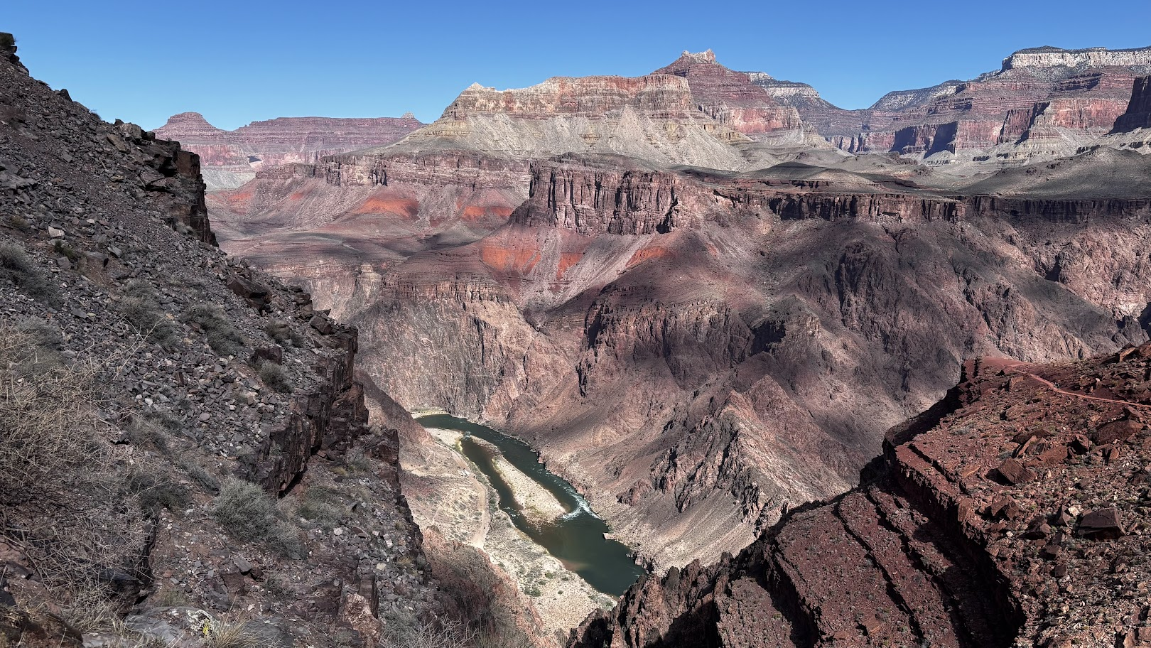
Colorado River
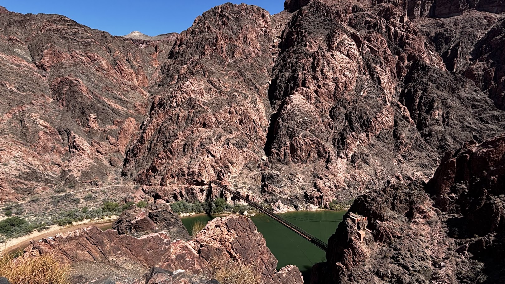
I am going to pause speaking again and simply paste photos with time, distance and elevation markers.
[POL] Znowu na chwilę zamilknę i ograniczę się do zdjęć, opisanych czasem, odległością i pokonaną różnicą wysokości.
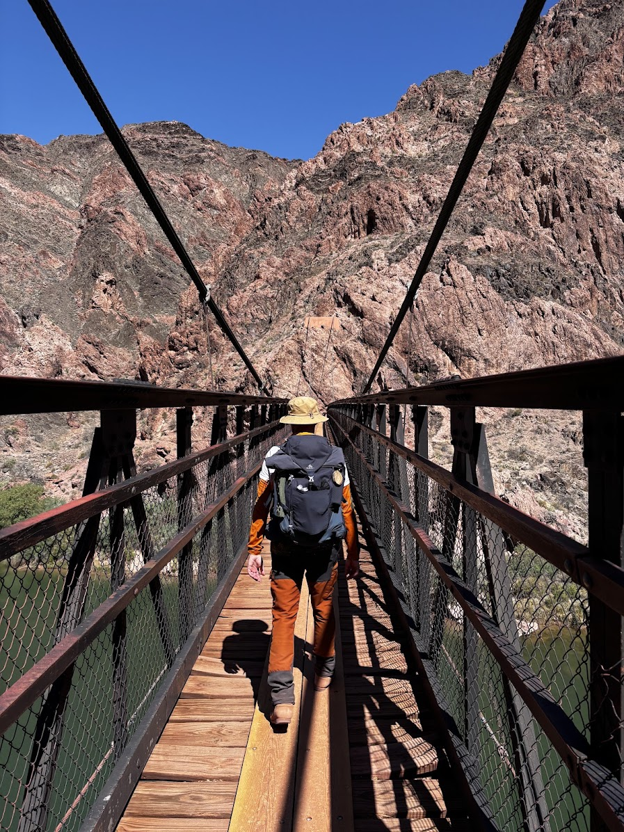
Made It To the River
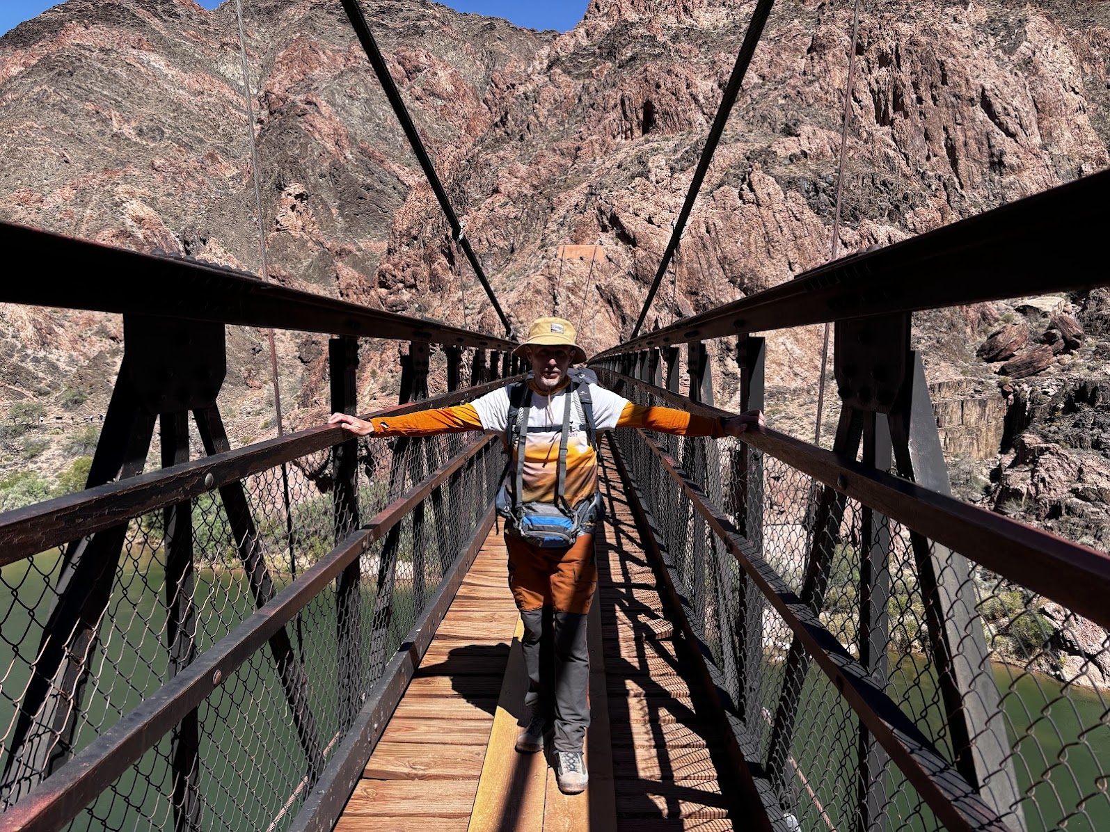
We crossed the Black Bridge and got down to a small beach by the Colorado River. The Kaibab Trail continues to Phantom Ranch and up to the North Rim. We did not have to go the Ranch - there's a drinkable water source near the boat beach and we had enough food and snacks in our backpacks. We spent almost an hour enjoying the cool, green waters of the Colorado River.
[POL] Przeszliśmy na drugą stronę rzeki Colorado. Szlak Kaibab prowadzi dalej do Phantom Ranch i wychodzi na północny brzeg kanionu (North Rim). Zeszliśmy do rzeki w pobliżu przystani pontonów. Jest tam źródło wody pitnej i dobre miejsce do odpoczynku. Przy zielonych, chłodnych wodach Colorado spędziliśmy prawie godzinę.
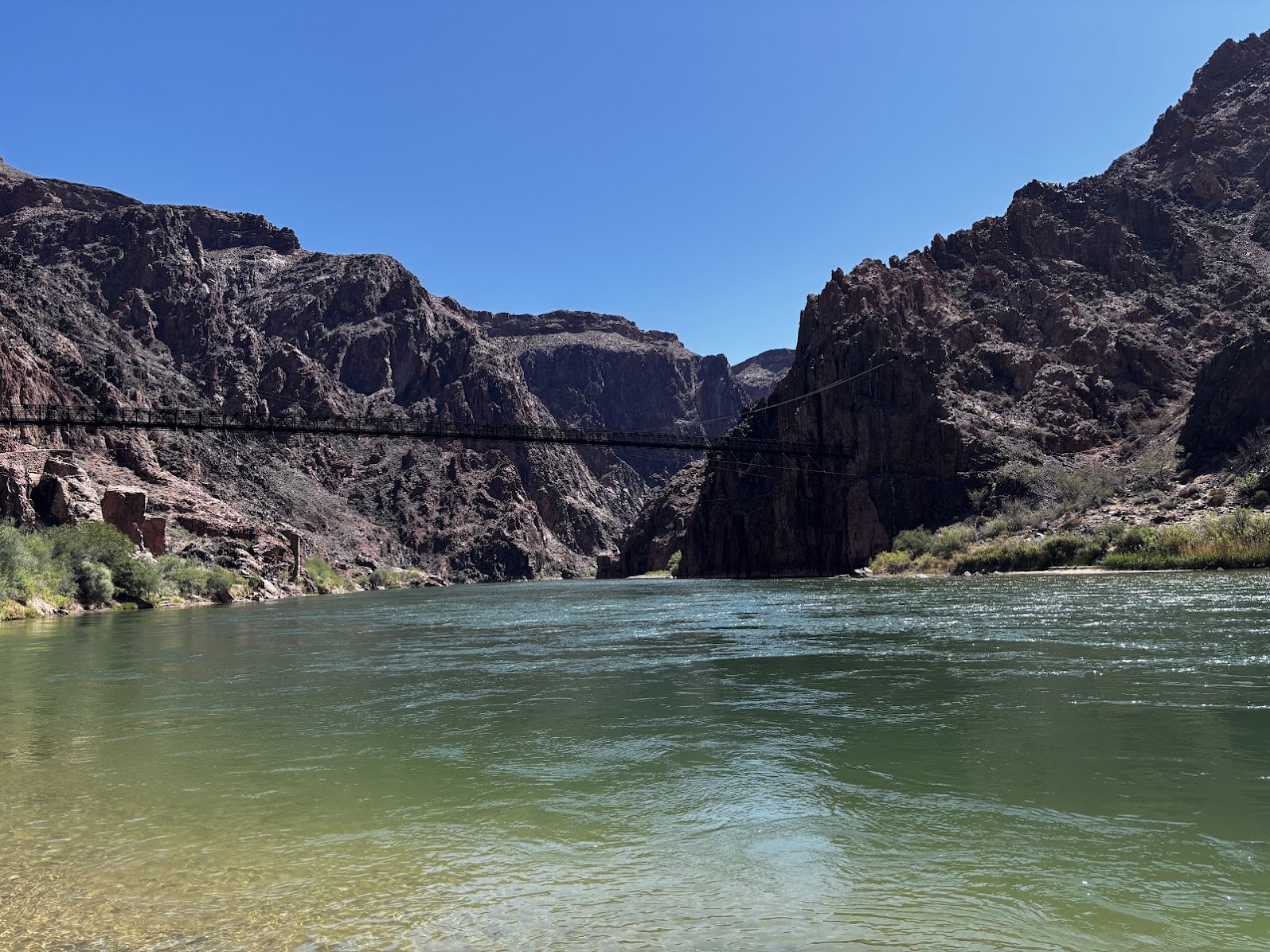
Up To the Rim
Excited as we were reaching the river, it was not the goal. The goal was to return up to the South Rim. The elevation difference is 1440m (the trail covers 1660m of total elevation gain). We are all ok with such hikes. The challenge is, however, that normally we start in a valley, hike up, rest and then hike down. Here we were hiking in reverse. We needed all the energy we could muster to return safely to the rim.
[POL] Cel osiągnięty? Nie - jesteśmy dopiero w połowie. Przed nami powrót na górę. To 1440m różnicy wysokości (cały nasz szlak ma sumę podejść 1660m). Każdy z nas pokonywał takie wysokości. Ale zwykle zaczynamy w dolinie, pełni sił wchodzimy na szczyt, odpoczywamy i wracamy na dół. A tu odwrotnie - połowa dystansu za nami, ale podejście dopiero nas czeka. Potrzebujemy zebrać energię by bezpiecznie wrócić na brzeg kanionu.
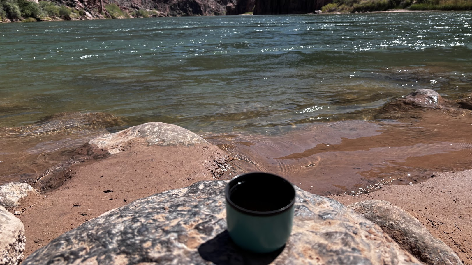
I will now post a series of photos from the hike up. As usual, marked with time and distance. But the elevation will be now given in reverse - how much is left to the rim.
[POL] Pokażę znowu serię zdjęć z wędrówki na górę. Tak jak do tej pory, zdjęcia będą opisane czasem i pokonanym dystansem. Ale różnica wysokości będzie podawana odwrotnie - ile metrów zostało nam do góry.
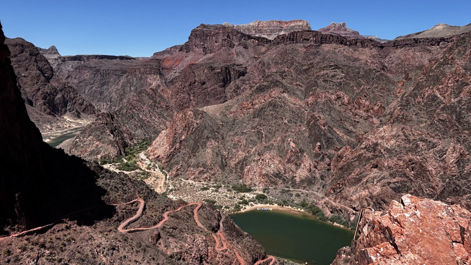
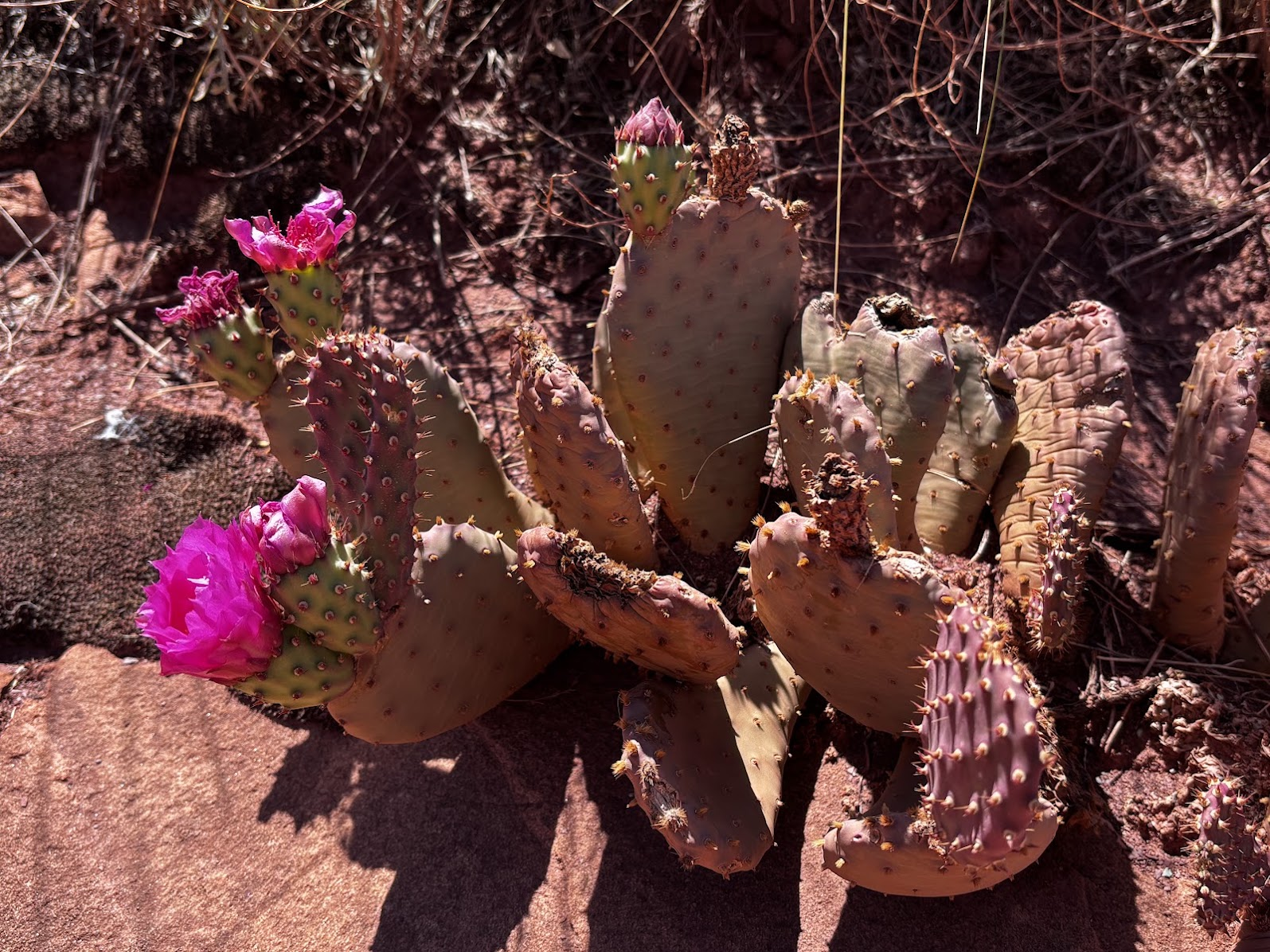
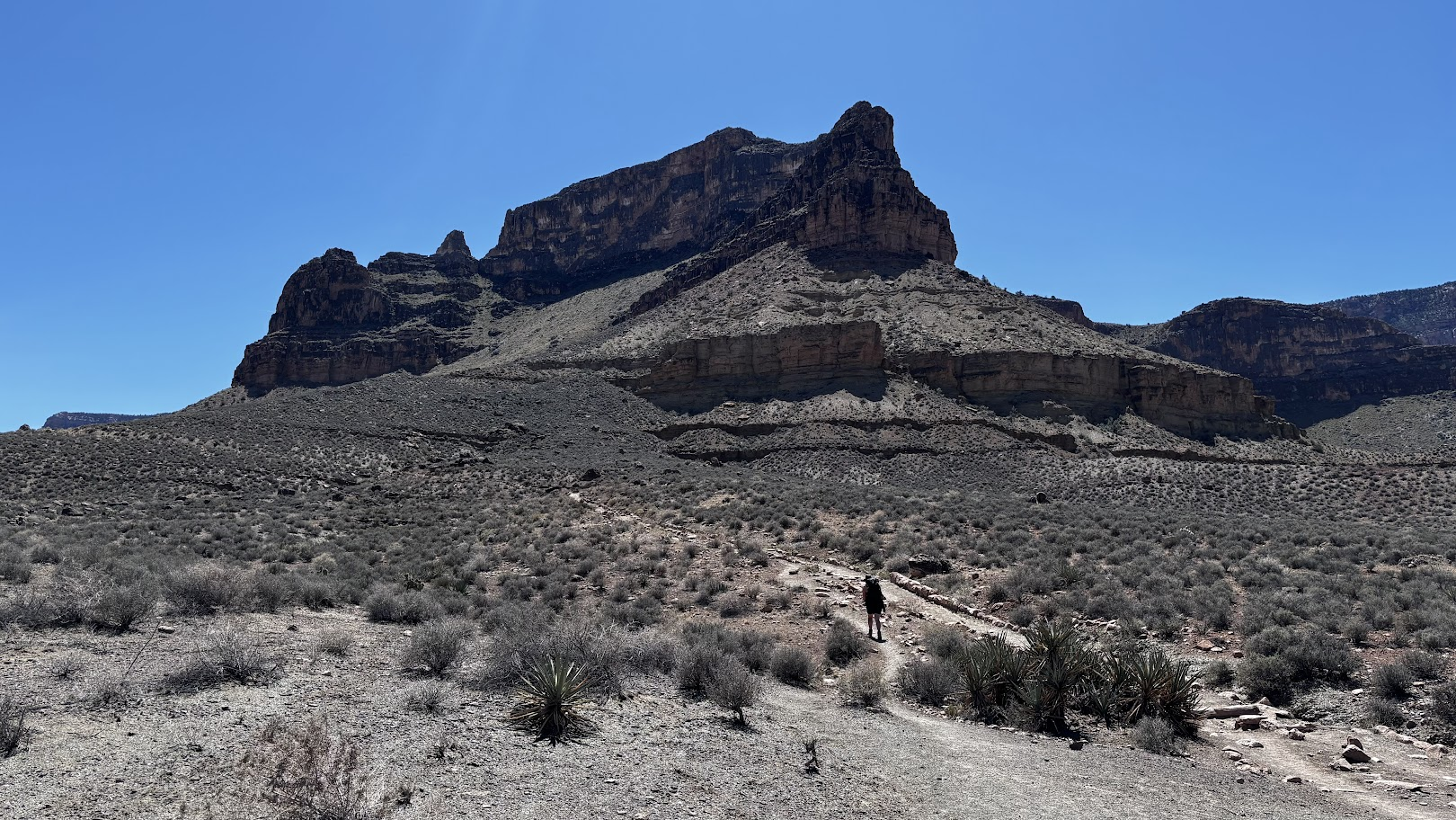
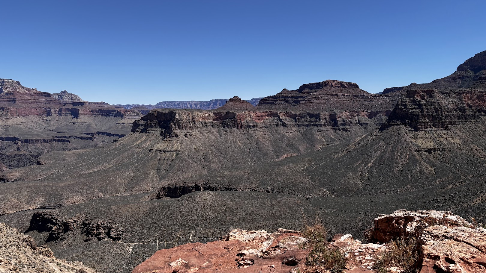
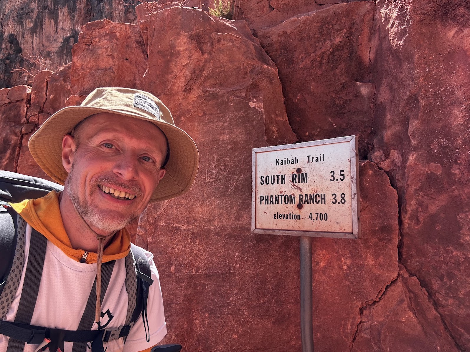
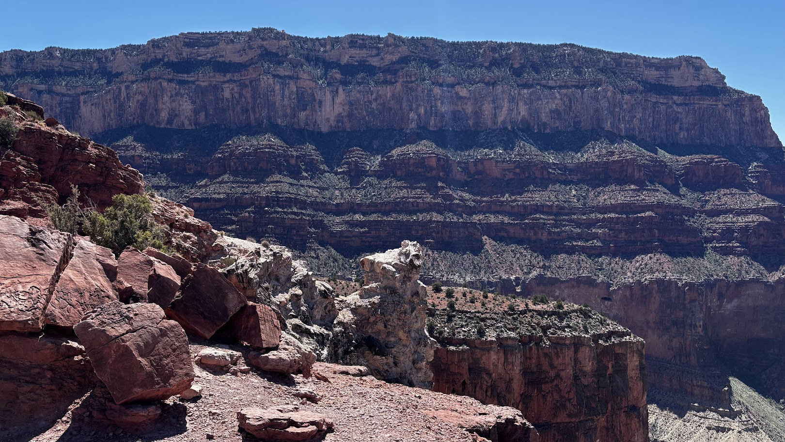
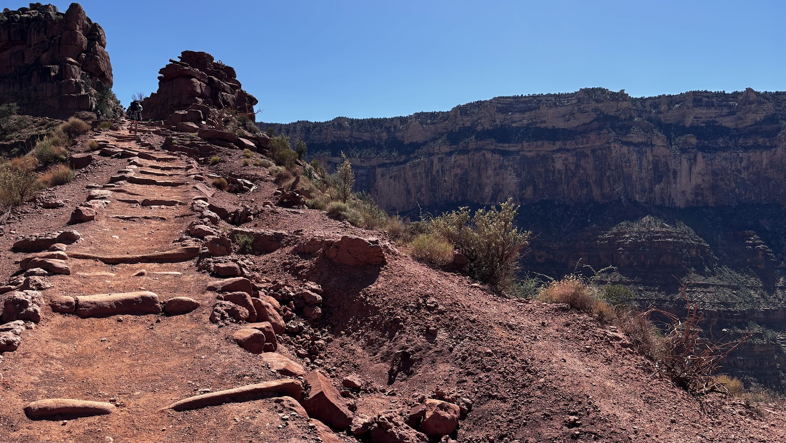
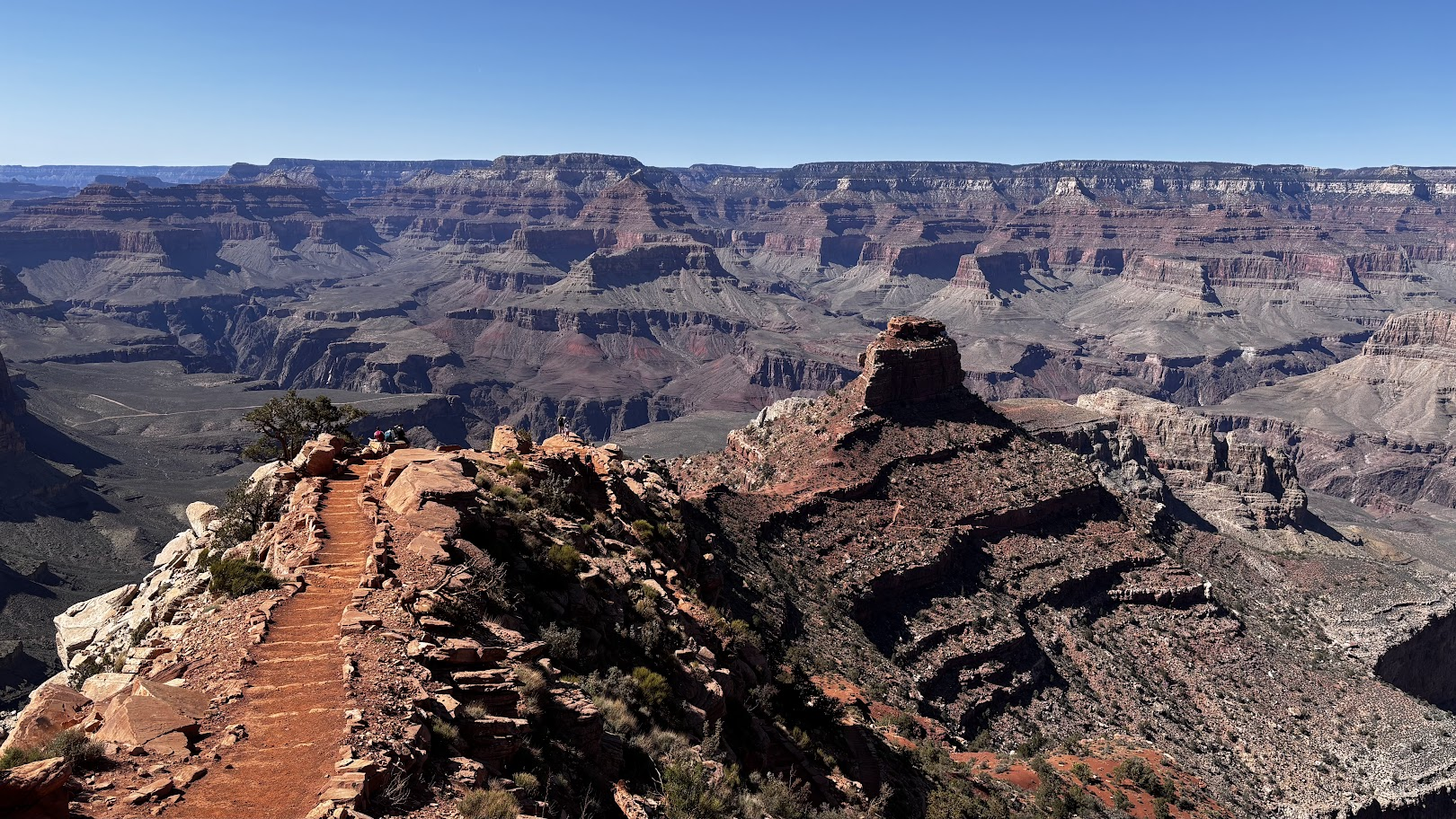
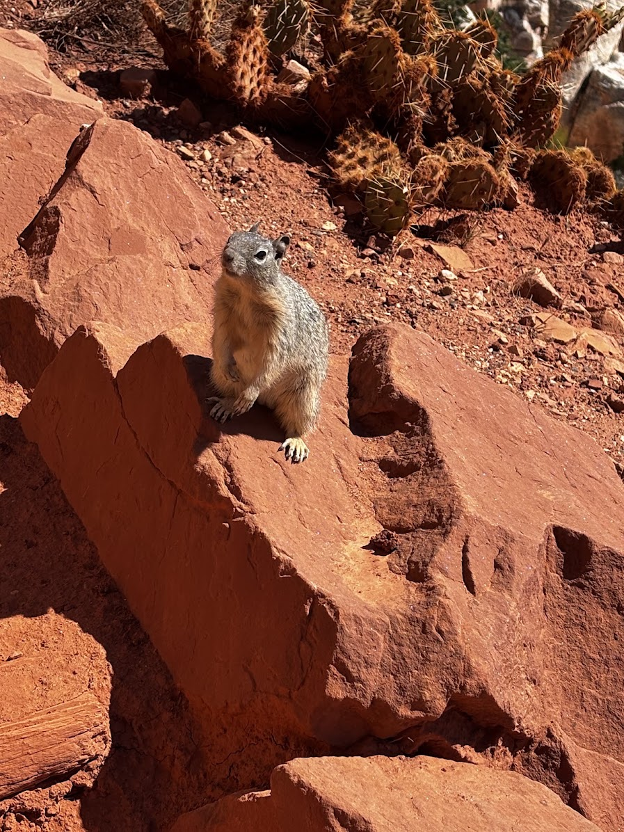
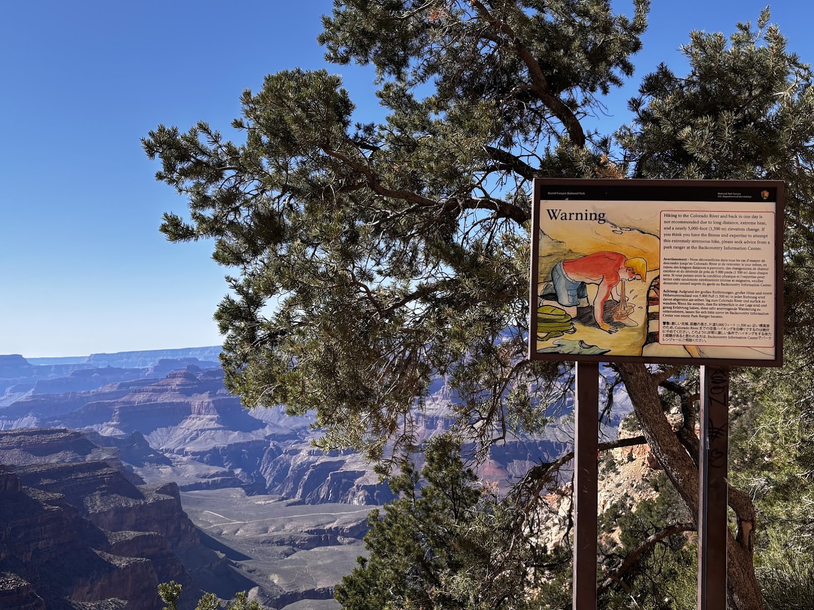
We made it up at 3:45pm. It took us 9:15hrs down and up (the time includes almost an hour spent by the river) - 21.3km and 1660m of total elevation gain. Note: this was with good, cool weather. Hiking there in the heat of the summer might be dangerous!
[POL] Wyszliśmy na brzeg kanionu o 15:45. 21,km i 1660m sumy podejść. Cała przygoda zajęła nam 9:15h, z czego godzinę spędziliśmy nad rzeką. Uwaga: Mieliśmy piękny, chłodny dzień. Ta sama przygoda w letnim upale może być niebezpieczna!
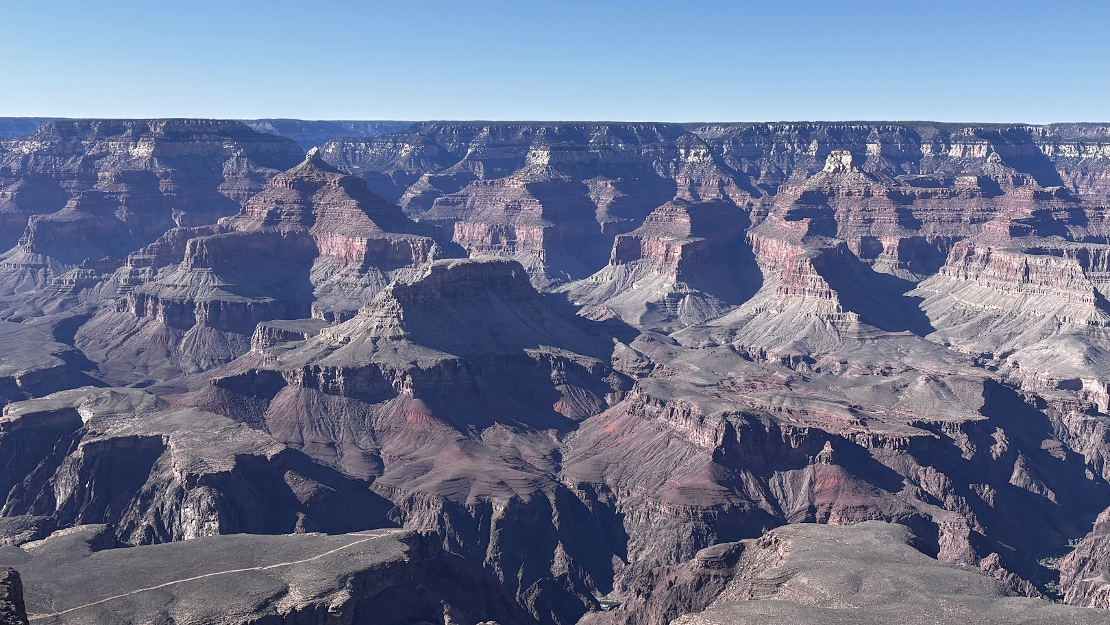
We took the shuttle to get back to the Visitor Center, where we met the rest of our group. They had spent a wonderful day strolling along the south rim of the canyon (see this post from 2025 when I did the rim walk).
[POL] Darmowym parkowym autobusem wróciliśmy na główny parking. Spotkaliśmy tam resztę grupy. Również mieli piękny dzień - spacerując wzdłuż brzegu kanionu (polecam mój post z 2025 - przeszedłem ponad 20km wzdłuż brzegu Grand Canyon).
/ następny odcinek:
Williams, AZ => Sedona, AZ => Page, AZHighlights / główne atrakcje: Boynton Canyon, Sedona and Horseshoe Bend, Page.
![Route 66 and Hoover Dam. Long Drive West. US Southwest trip Day 8 [POL / ENG]](https://img.truvvle.com/?src=aHR0cHM6Ly9pbWcudHJhdmVsZmVlZC5pby9zbnVma2luJTJGMjAyNS0wNy0yNy0xNy0wNy03MTYtaG9vdmVyZGFtLXBuZw&width=800)
![Paria Canyon Vermilion Cliffs aka the Wave - Unreal Arizona/Utah. US Road Trip 2026: Day 8 [POL/ENG]](https://img.truvvle.com/?src=aHR0cHM6Ly9pbWcudHJhdmVsZmVlZC5pby9zbnVma2luJTJGMjAyNi0wNy0yOC0xNy0wMC0yNi04NzctdGhld2F2ZS1qcGc&width=800)
![Short trips around Page, Arizona. Horseshoe Bend & Lake Powell. US Southwest trip Day 4. [POL / ENG]](https://img.truvvle.com/?src=aHR0cHM6Ly9pbWcudHJhdmVsZmVlZC5pby9zbnVma2luJTJGMjAyNS0wNi0xNC0xMi0wNi0wMjYtaG9yc2VzaG9lYmVuZC1wbmc&width=800)
![Breathtaking Antelope Canyon X. The most beautiful photos of my US Southwest trip - Day 5 [POL/ENG].](https://img.truvvle.com/?src=aHR0cHM6Ly9pbWcudHJhdmVsZmVlZC5pby9zbnVma2luJTJGMjAyNS0wNi0yMy0xOC0wNi01MzUtYW50ZWxvcGVjYW55b24tcG5n&width=800)